Transport Functions
Rail
Road
Multimodal
Hub Profile
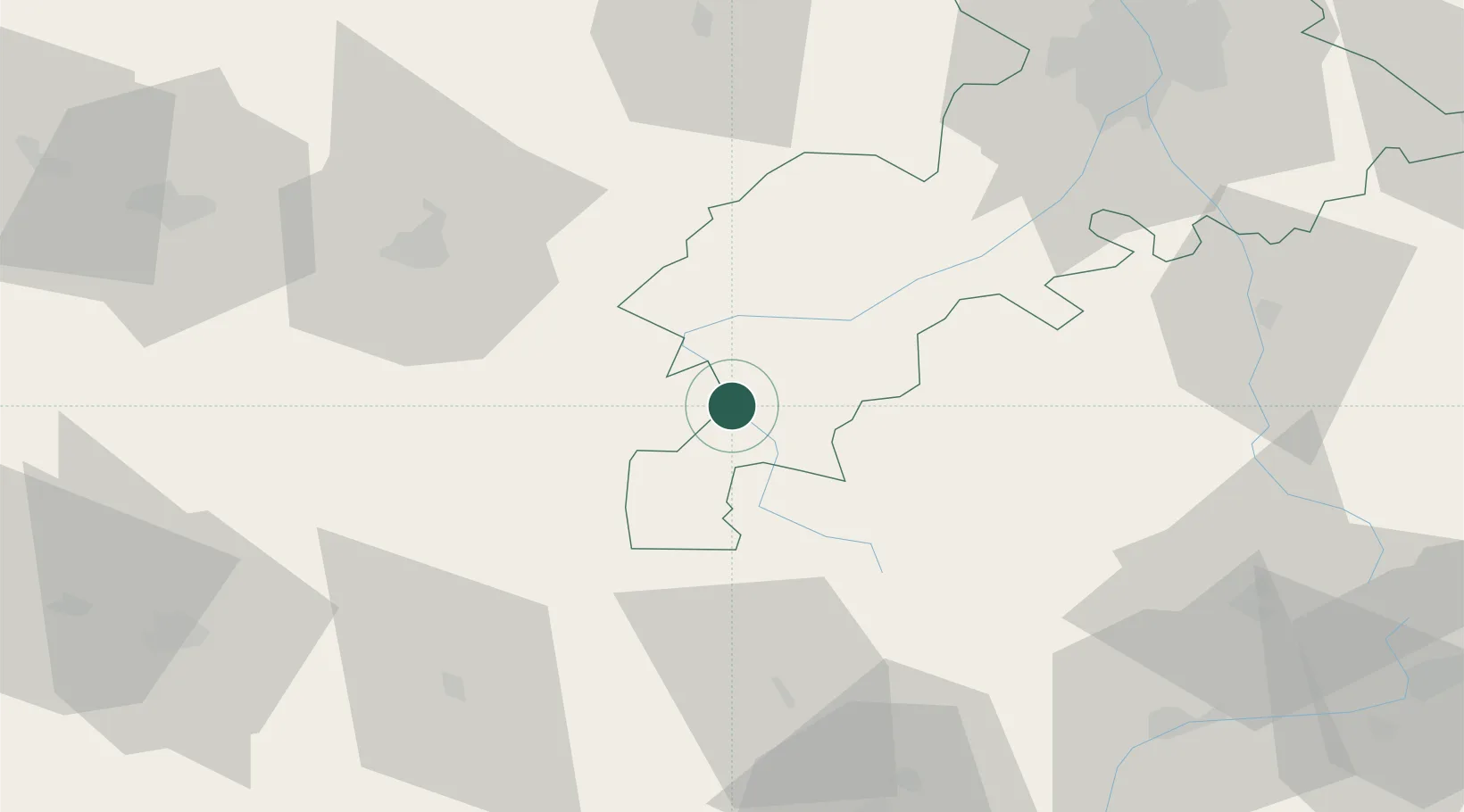
Place type
Populated place
Region
Occitanie
Population
251
Time zone
Europe/Paris
Elevation
470 m
Location
Nearby Logistics Neighbours
Cities
- 1Villeneuve-de-Rivière20 km
- 2Sarrancolin23 km
- 3Arreau24 km
- 4Blajan35 km
- 5Boussens37 km
Ports
- 1Bayonne182 km
- 2Port-La-Nouvelle197 km
- 3Port-Vendres207 km
- 4Villanueva Y Geltru211 km
- 5Tarragona211 km
Airports
Trade Zones
- 1ZFU Toulouse97 km
- 2ZFU Perpignan185 km
- 3Depósito Franco de Zaragoza187 km
- 4Depósito Franco de Tarragona210 km
- 5ZFU Béziers213 km
DatabookThe Record of Consolidated Knowledge
France beyond logistics?