Transport Functions
Multimodal
Hub Profile
Place type
Populated place
Region
Nouvelle-Aquitaine
Population
675
Time zone
Europe/Paris
Elevation
195 m
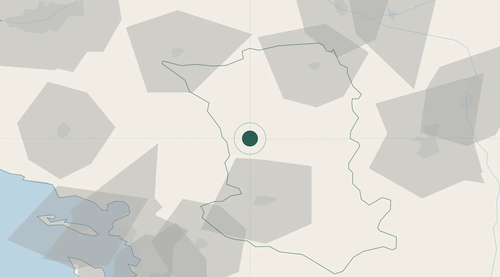
Location
Nearby Logistics Neighbours
Cities
- 1Largeasse4 km
- 2Secondigny8 km
- 3La Boissière-en-Gâtine14 km
- 4Adilly16 km
- 5Courlay17 km
Ports
- 1La Rochelle72 km
- 2La Pallice75 km
- 3Tonnay Charente83 km
- 4Rochefort85 km
- 5Les Sables D' Olonne99 km
Airports
Trade Zones
- 1ZFU La Rochelle75 km
- 2ZFU Angers95 km
- 3ZFU Nantes et Saint-Herblain111 km
- 4ZFU Saint-Nazaire151 km
- 5ZFU Le Mans158 km
DatabookThe Record of Consolidated Knowledge
France beyond logistics?