Transport Functions
Multimodal
Hub Profile
Place type
Populated place
Region
Nouvelle-Aquitaine
Population
2,330
Time zone
Europe/Paris
Elevation
205 m
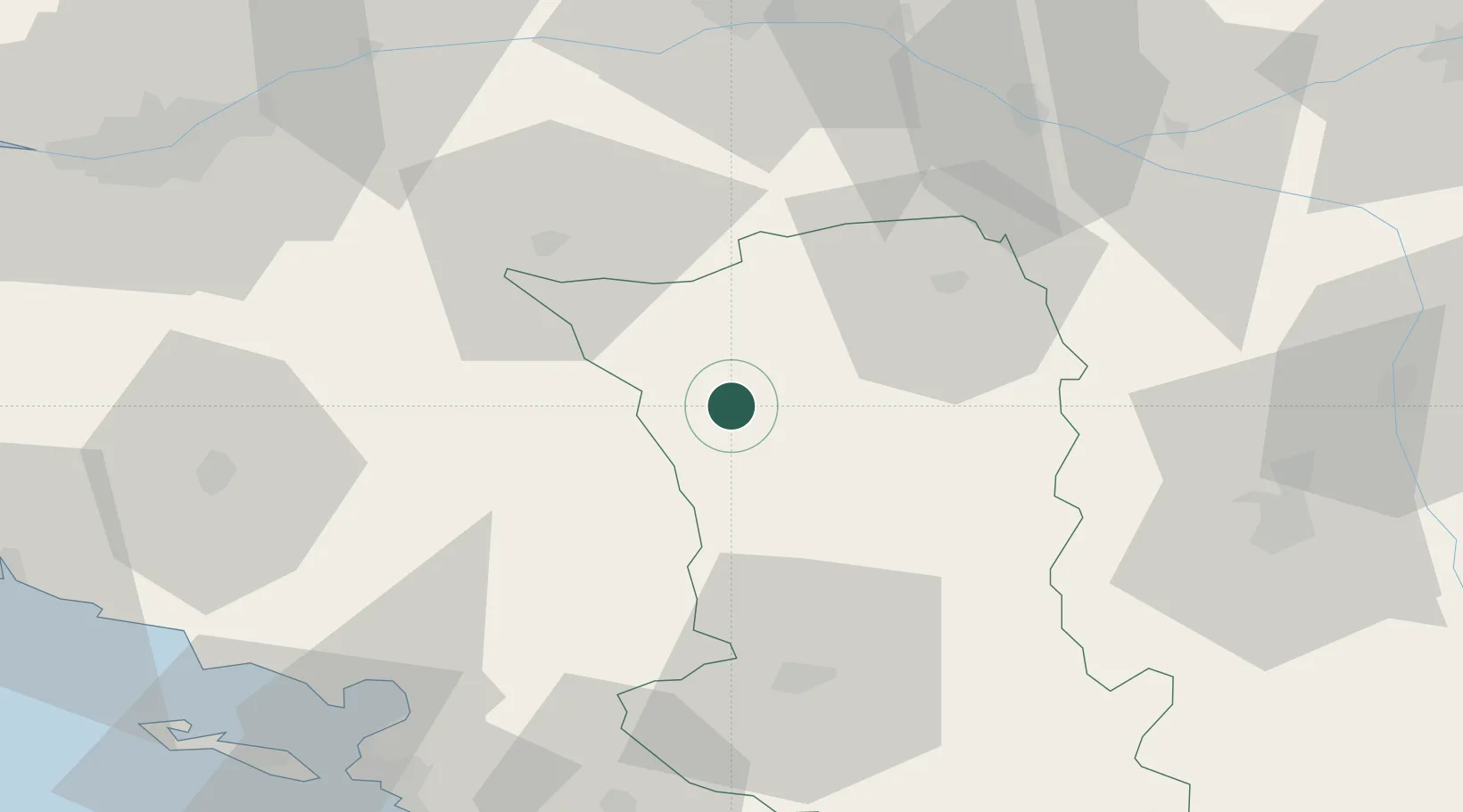
Location
Nearby Logistics Neighbours
Cities
- 1Bressuire8 km
- 2Largeasse14 km
- 3Nueil-les-Aubiers15 km
- 4Vernoux-en-Gâtine17 km
- 5Les Aubiers19 km
Ports
- 1La Rochelle83 km
- 2La Pallice85 km
- 3Nantes89 km
- 4Tonnay Charente98 km
- 5Rochefort99 km
Airports
Trade Zones
- 1ZFU Angers78 km
- 2ZFU La Rochelle85 km
- 3ZFU Nantes et Saint-Herblain99 km
- 4ZFU Saint-Nazaire141 km
- 5ZFU Le Mans143 km
DatabookThe Record of Consolidated Knowledge
France beyond logistics?