Transport Functions
Road
Multimodal
Hub Profile
Place type
Populated place
Region
Nouvelle-Aquitaine
Population
782
Time zone
Europe/Paris
Elevation
186 m
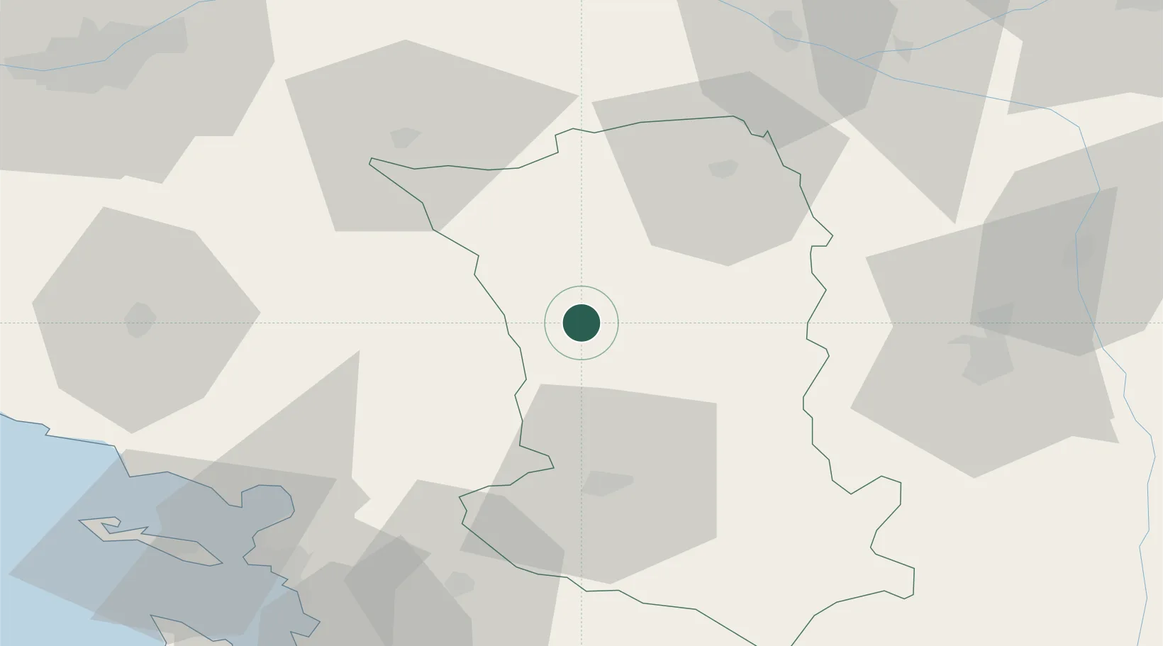
Location
Nearby Logistics Neighbours
Cities
- 1Vernoux-en-Gâtine4 km
- 2Secondigny8 km
- 3Courlay14 km
- 4Adilly14 km
- 5La Boissière-en-Gâtine15 km
Ports
- 1La Rochelle76 km
- 2La Pallice78 km
- 3Tonnay Charente87 km
- 4Rochefort89 km
- 5Nantes100 km
Airports
Trade Zones
- 1ZFU La Rochelle78 km
- 2ZFU Angers91 km
- 3ZFU Nantes et Saint-Herblain110 km
- 4ZFU Saint-Nazaire151 km
- 5ZFU Le Mans154 km
DatabookThe Record of Consolidated Knowledge
France beyond logistics?