UN/LOCODE hub · France
FR2BG

La Boissière-en-Gâtine
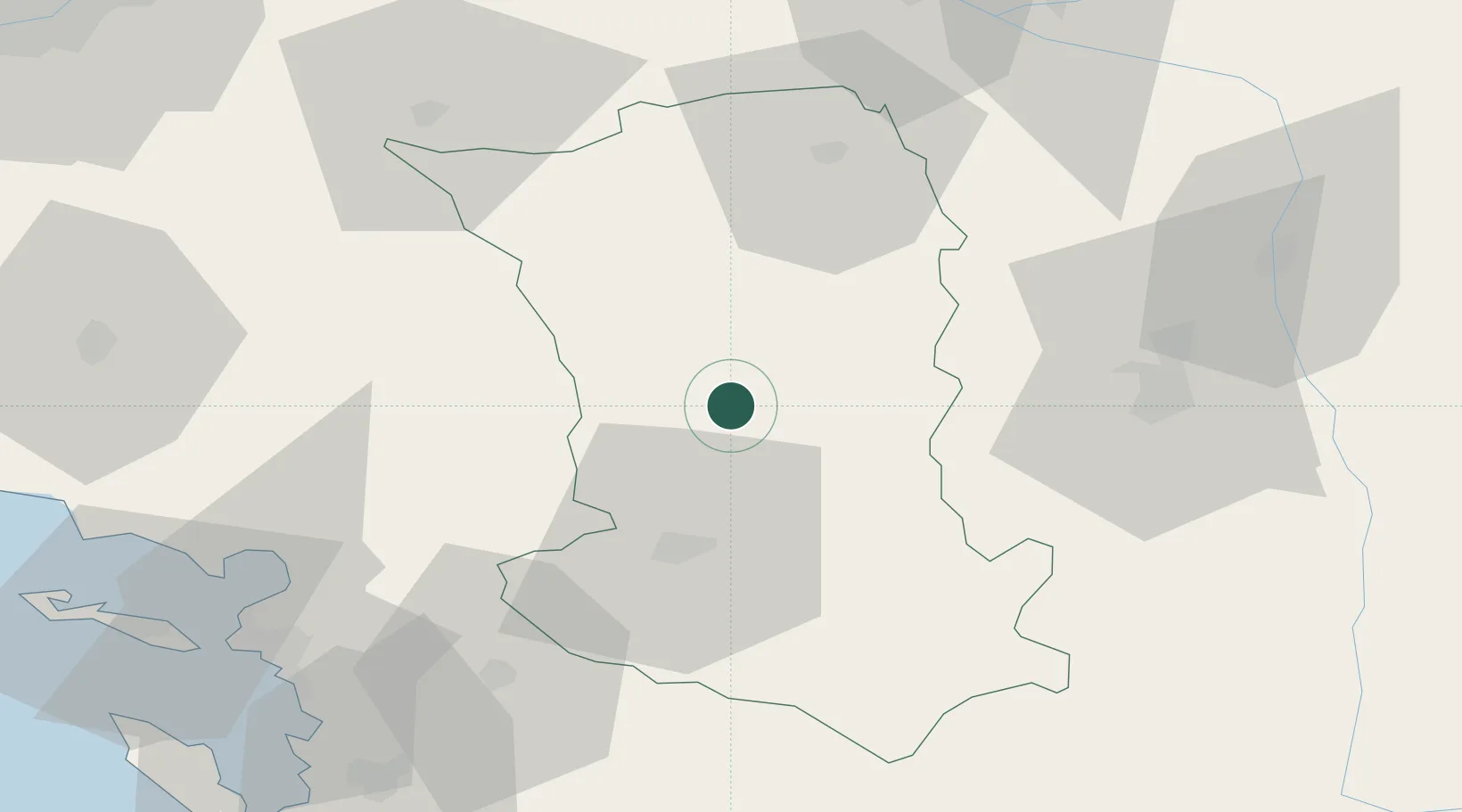
46.5667°, -0.3667°
256
Population
2
Transport functions

Transport Functions

Road
Multimodal
UN/LOCODE

Hub Profile

Place type
Populated place
GeoNames
Region
Nouvelle-Aquitaine
GeoNames
Population
256
GeoNames
Time zone
Europe/Paris
GeoNames
Elevation
183 m
GeoNames

Location

Location of FR2BG
Natural Earth 10m (public domain) · Nouvelle-Aquitaine · FR2BG · 46.57, -0.37GoogleOSMYandex

Nearby Logistics Neighbours

Cities
  1. 1Secondigny7 km
  2. 2Adilly14 km
  3. 3Vernoux-en-Gâtine14 km
  4. 4Largeasse15 km
  5. 5Saint-Maixent-l'École21 km
Nearest neighbours — logibook spatial index (haversine) over the source coordinates
Ports
  1. 1La Rochelle76 km
  2. 2La Pallice79 km
  3. 3Tonnay Charente82 km
  4. 4Rochefort84 km
  5. 5Les Sables D' Olonne110 km
Nearest neighbours — logibook spatial index (haversine) over the source coordinates
Airports
  1. 1Niort - Marais Poitevin Airport28 km
  2. 2Poitiers-Biard Airport52 km
  3. 3La Rochelle Île de Ré Airport77 km
  4. 4La Roche-sur-Yon Les Ajoncs Airport79 km
  5. 5Rochefort-Saint-Agnant (BA 721) Airport89 km
Nearest neighbours — logibook spatial index (haversine) over the source coordinates
Trade Zones
  1. 1ZFU La Rochelle79 km
  2. 2ZFU Angers103 km
  3. 3ZFU Nantes et Saint-Herblain125 km
  4. 4ZFU Le Mans162 km
  5. 5ZFU Saint-Nazaire165 km
Nearest neighbours — logibook spatial index (haversine) over the source coordinates
DatabookThe Record of Consolidated Knowledge
France beyond logistics?
Browse databook

All Sources

LocationsUN/LOCODE
UN/LOCODE — free
LocationsGeoNames
CC BY 4.0
Portsthe NGA World Port Index
Public domain (US gov)
AirportsOurAirports
Public domain
Trade Zonesthe World Bank SEZ database
CC BY 4.0
Trade ZonesOpen Zone Map
CC BY
← France locations