Transport Functions
Multimodal
Hub Profile
Place type
Populated place
Region
Nouvelle-Aquitaine
Population
302
Time zone
Europe/Paris
Elevation
171 m
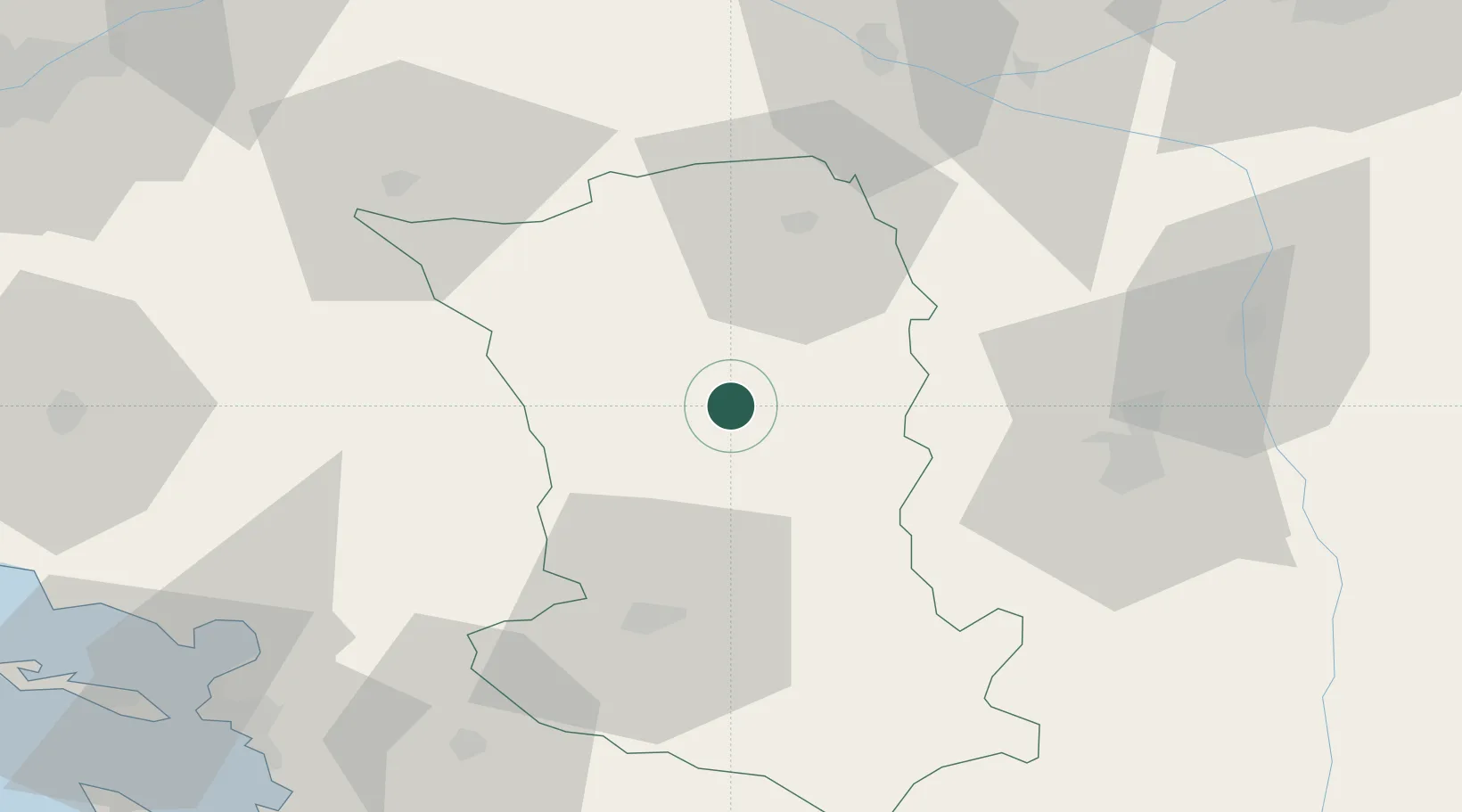
Location
Nearby Logistics Neighbours
Cities
- 1Secondigny11 km
- 2La Boissière-en-Gâtine14 km
- 3Largeasse14 km
- 4Vernoux-en-Gâtine16 km
- 5Bressuire21 km
Ports
- 1La Rochelle87 km
- 2La Pallice90 km
- 3Tonnay Charente95 km
- 4Rochefort97 km
- 5Nantes111 km
Airports
Trade Zones
- 1ZFU La Rochelle90 km
- 2ZFU Angers91 km
- 3ZFU Nantes et Saint-Herblain121 km
- 4ZFU Le Mans148 km
- 5ZFU Blois156 km
DatabookThe Record of Consolidated Knowledge
France beyond logistics?