Transport Functions
Multimodal
Hub Profile
Place type
Populated place
Region
Centre-Val de Loire
Population
843
Time zone
Europe/Paris
Elevation
96 m
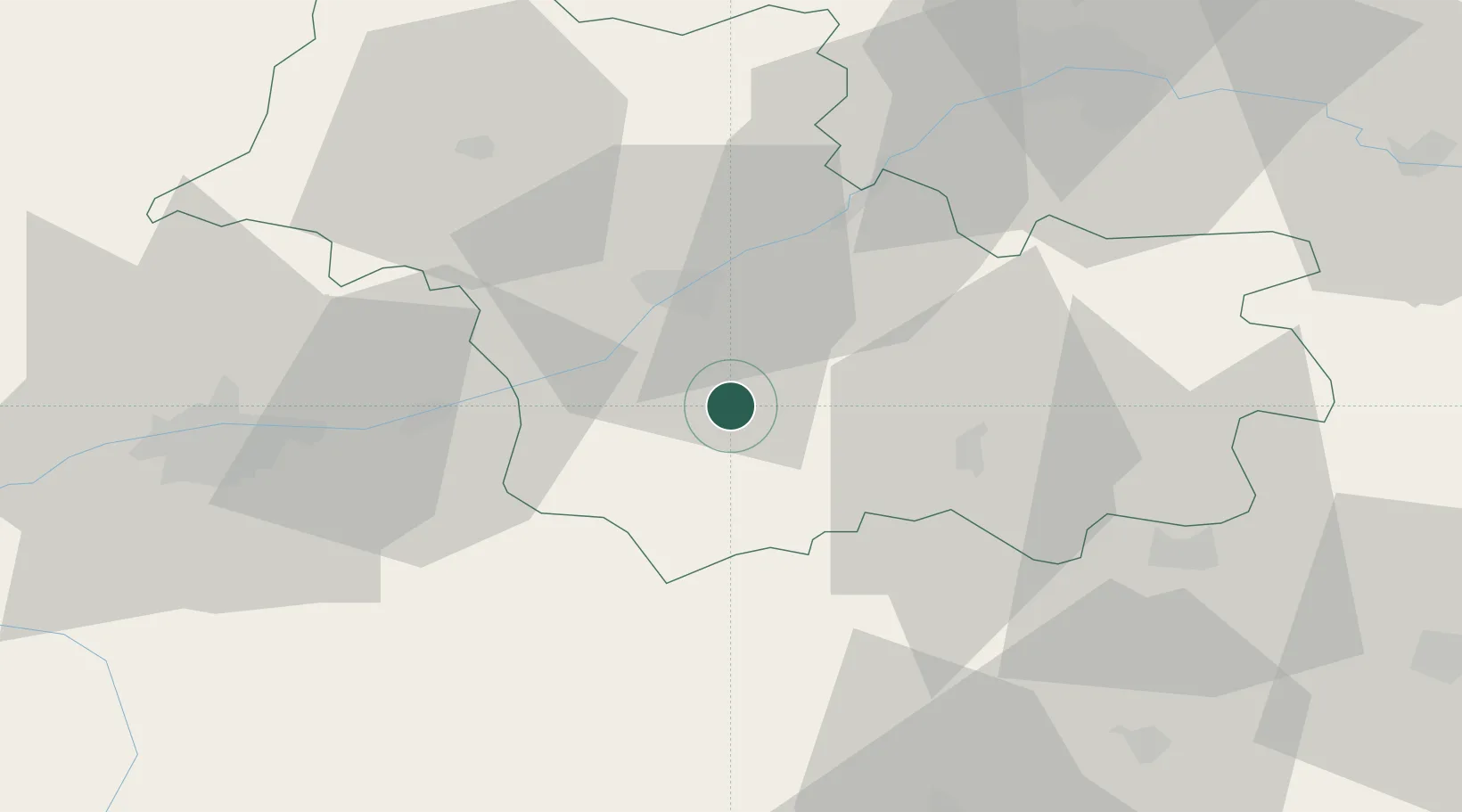
Location
Nearby Logistics Neighbours
Cities
- 1Le Controis-en-Sologne3 km
- 2Sassay4 km
- 3Feings5 km
- 4Fougères-sur-Bièvre5 km
- 5Cormeray6 km
Ports
- 1Port Of Rouen226 km
- 2Nantes226 km
- 3Port De Caen234 km
- 4Deauville236 km
- 5Honfleur238 km
Airports
- 1Tours Val de Loire Airport52 km
- 2Orléans-Bricy (BA 123) Air Base67 km
- 3Châteauroux Déols airport68 km
- 4Châteaudun Airfield70 km
- 5Bourges airport83 km
Trade Zones
- 1ZFU Blois20 km
- 2ZFU Orléans58 km
- 3ZFU Bourges79 km
- 4ZFU Le Mans114 km
- 5ZFU Dreux et Sainte-Gemme-Moronval146 km
DatabookThe Record of Consolidated Knowledge
France beyond logistics?