Transport Functions
Multimodal
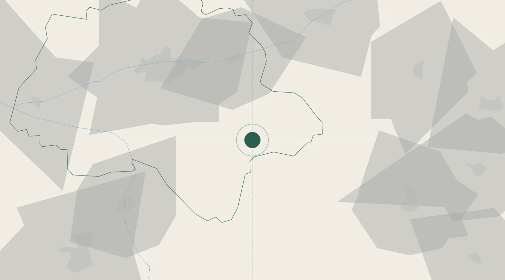
Hub Profile
Place type
Populated place
Region
Centre-Val de Loire
Population
546
Time zone
Europe/Paris
Elevation
105 m
Location
Nearby Logistics Neighbours
Cities
- 1Céré-la-Ronde22 km
- 2Francueil26 km
- 3Truyes27 km
- 4Faverolles-sur-Cher27 km
- 5Châteauvieux28 km
Ports
- 1Tonnay Charente198 km
- 2La Rochelle199 km
- 3Nantes200 km
- 4Rochefort200 km
- 5La Pallice202 km
Airports
- 1Tours Val de Loire Airport47 km
- 2Châteauroux Déols airport56 km
- 3Poitiers-Biard Airport80 km
- 4Bourges airport99 km
- 5Châteaudun Airfield111 km
Trade Zones
- 1ZFU Blois57 km
- 2ZFU Bourges96 km
- 3ZFU Orléans105 km
- 4ZFU Le Mans122 km
- 5ZFU Angers133 km
DatabookThe Record of Consolidated Knowledge
France beyond logistics?