Transport Functions
Multimodal
Hub Profile
Place type
Populated place
Region
Centre-Val de Loire
Population
1,808
Time zone
Europe/Paris
Elevation
76 m
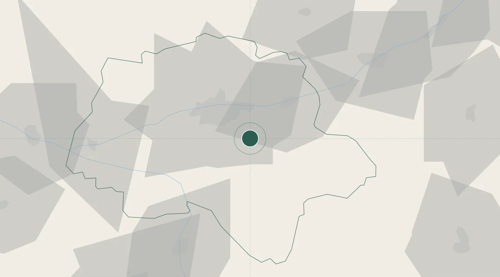
Location
Nearby Logistics Neighbours
Cities
- 1Esvres4 km
- 2Montbazon9 km
- 3Azay-sur-Cher9 km
- 4Sorigny11 km
- 5Véretz11 km
Ports
- 1Nantes181 km
- 2La Rochelle196 km
- 3La Pallice198 km
- 4Tonnay Charente199 km
- 5Rochefort201 km
Airports
- 1Tours Val de Loire Airport20 km
- 2Châteauroux Déols airport82 km
- 3Poitiers-Biard Airport85 km
- 4Le Mans-Arnage Airport89 km
- 5Angers Marcé airport92 km
Trade Zones
- 1ZFU Blois48 km
- 2ZFU Le Mans96 km
- 3ZFU Orléans101 km
- 4ZFU Angers110 km
- 5ZFU Bourges115 km
DatabookThe Record of Consolidated Knowledge
France beyond logistics?