UN/LOCODE hub · France
FRFZH
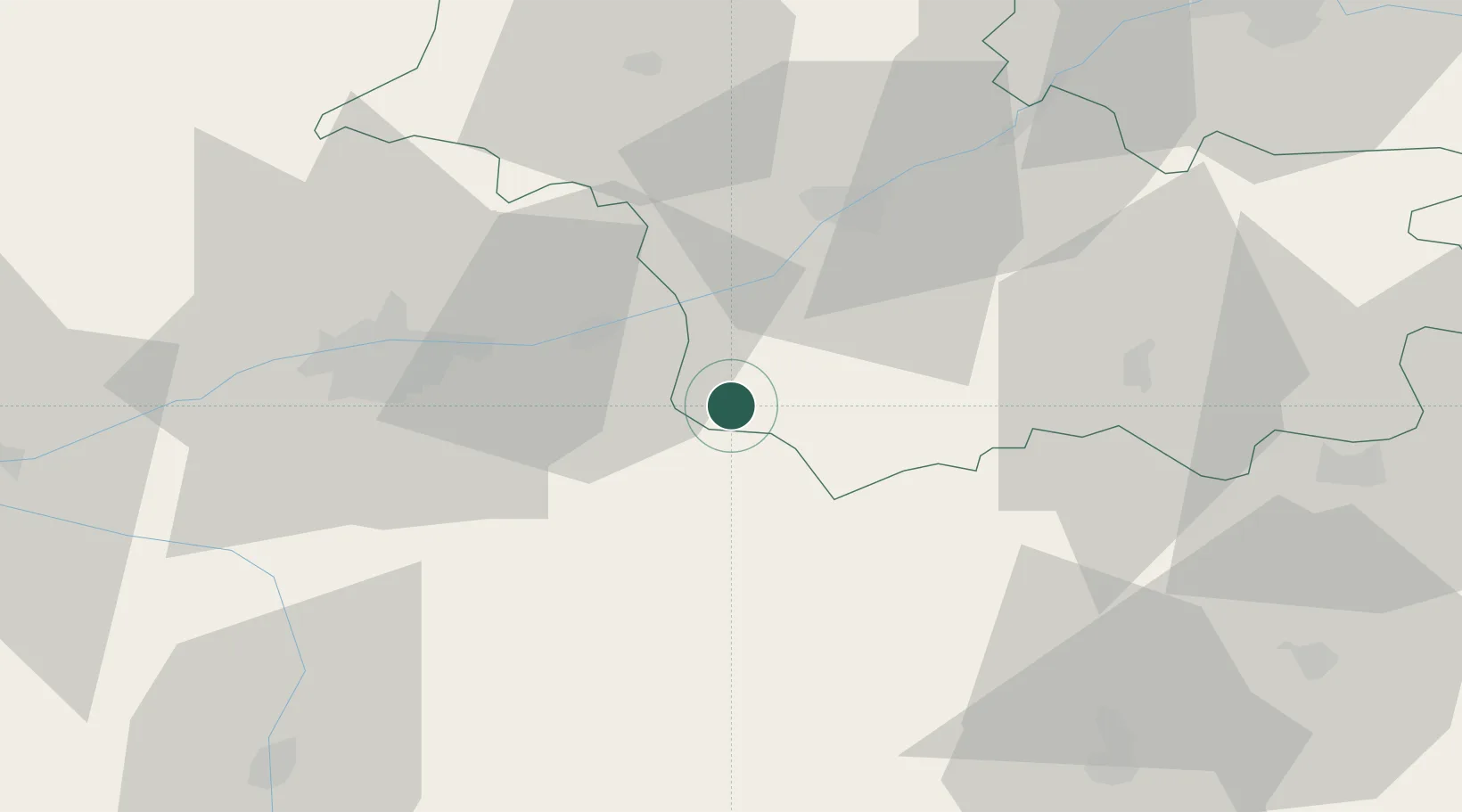
Faverolles-sur-Cher
47.3167°, 1.1833°
1,240
Population
1
Transport functions
Transport Functions
Multimodal
Hub Profile
Place type
Populated place
Region
Centre-Val de Loire
Population
1,240
Time zone
Europe/Paris
Elevation
90 m
Location
Nearby Logistics Neighbours
Cities
- 1Bourré4 km
- 2Angé5 km
- 3Céré-la-Ronde6 km
- 4Francueil8 km
- 5Pouillé8 km
Ports
- 1Nantes208 km
- 2La Rochelle220 km
- 3Tonnay Charente221 km
- 4La Pallice223 km
- 5Rochefort224 km
Airports
- 1Tours Val de Loire Airport37 km
- 2Châteauroux Déols airport65 km
- 3Châteaudun Airfield84 km
- 4Orléans-Bricy (BA 123) Air Base86 km
- 5Bourges airport94 km
Trade Zones
- 1ZFU Blois30 km
- 2ZFU Orléans79 km
- 3ZFU Bourges91 km
- 4ZFU Le Mans108 km
- 5ZFU Angers135 km
DatabookThe Record of Consolidated Knowledge
France beyond logistics?