Transport Functions
Multimodal
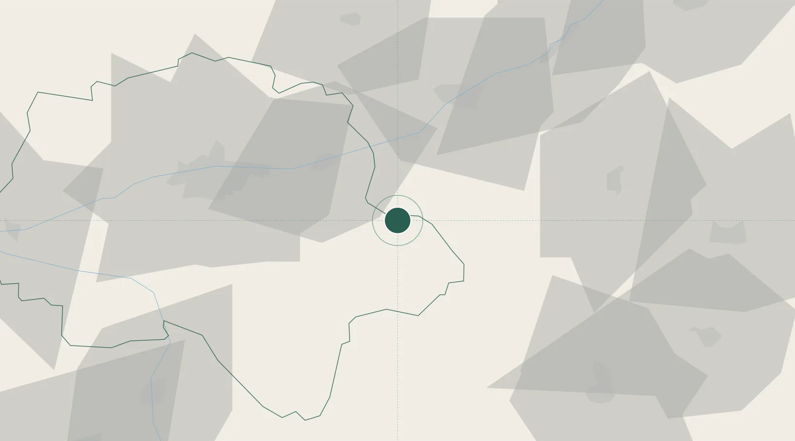
Hub Profile
Place type
Populated place
Region
Centre-Val de Loire
Population
464
Time zone
Europe/Paris
Elevation
121 m
Location
Nearby Logistics Neighbours
Cities
- 1Faverolles-sur-Cher6 km
- 2Angé9 km
- 3Bourré9 km
- 4Francueil9 km
- 5Pouillé9 km
Ports
- 1Nantes208 km
- 2La Rochelle217 km
- 3Tonnay Charente218 km
- 4La Pallice220 km
- 5Rochefort220 km
Airports
- 1Tours Val de Loire Airport39 km
- 2Châteauroux Déols airport61 km
- 3Châteaudun Airfield89 km
- 4Orléans-Bricy (BA 123) Air Base91 km
- 5Bourges airport93 km
Trade Zones
- 1ZFU Blois36 km
- 2ZFU Orléans84 km
- 3ZFU Bourges89 km
- 4ZFU Le Mans112 km
- 5ZFU Angers136 km
DatabookThe Record of Consolidated Knowledge
France beyond logistics?