Transport Functions
Port
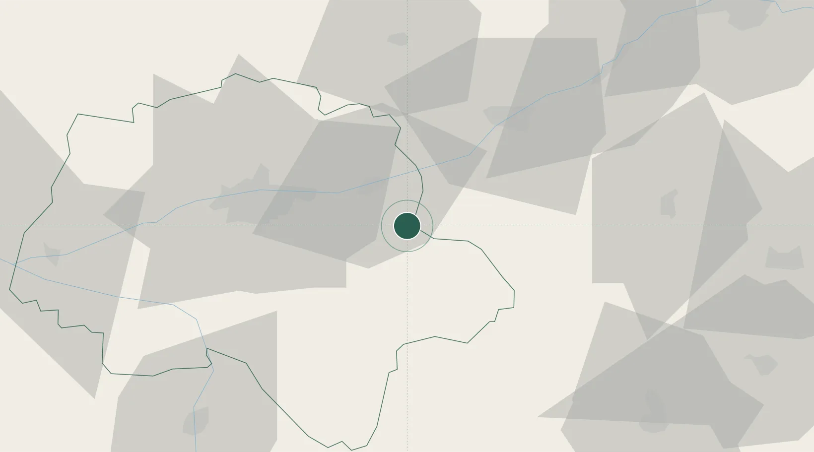
Hub Profile
Place type
Populated place
Region
Centre-Val de Loire
Population
986
Time zone
Europe/Paris
Elevation
88 m
Location
Nearby Logistics Neighbours
Cities
- 1Faverolles-sur-Cher8 km
- 2La Croix-en-Touraine8 km
- 3Île-d'Houat8 km
- 4Céré-la-Ronde9 km
- 5Bourré10 km
Ports
- 1Nantes200 km
- 2La Rochelle214 km
- 3Tonnay Charente216 km
- 4La Pallice217 km
- 5Rochefort219 km
Airports
Trade Zones
- 1ZFU Blois33 km
- 2ZFU Orléans84 km
- 3ZFU Bourges98 km
- 4ZFU Le Mans103 km
- 5ZFU Angers128 km
DatabookThe Record of Consolidated Knowledge
France beyond logistics?