Transport Functions
Multimodal
Hub Profile
Place type
Populated place
Region
Pays de la Loire
Population
2,508
Time zone
Europe/Paris
Elevation
65 m
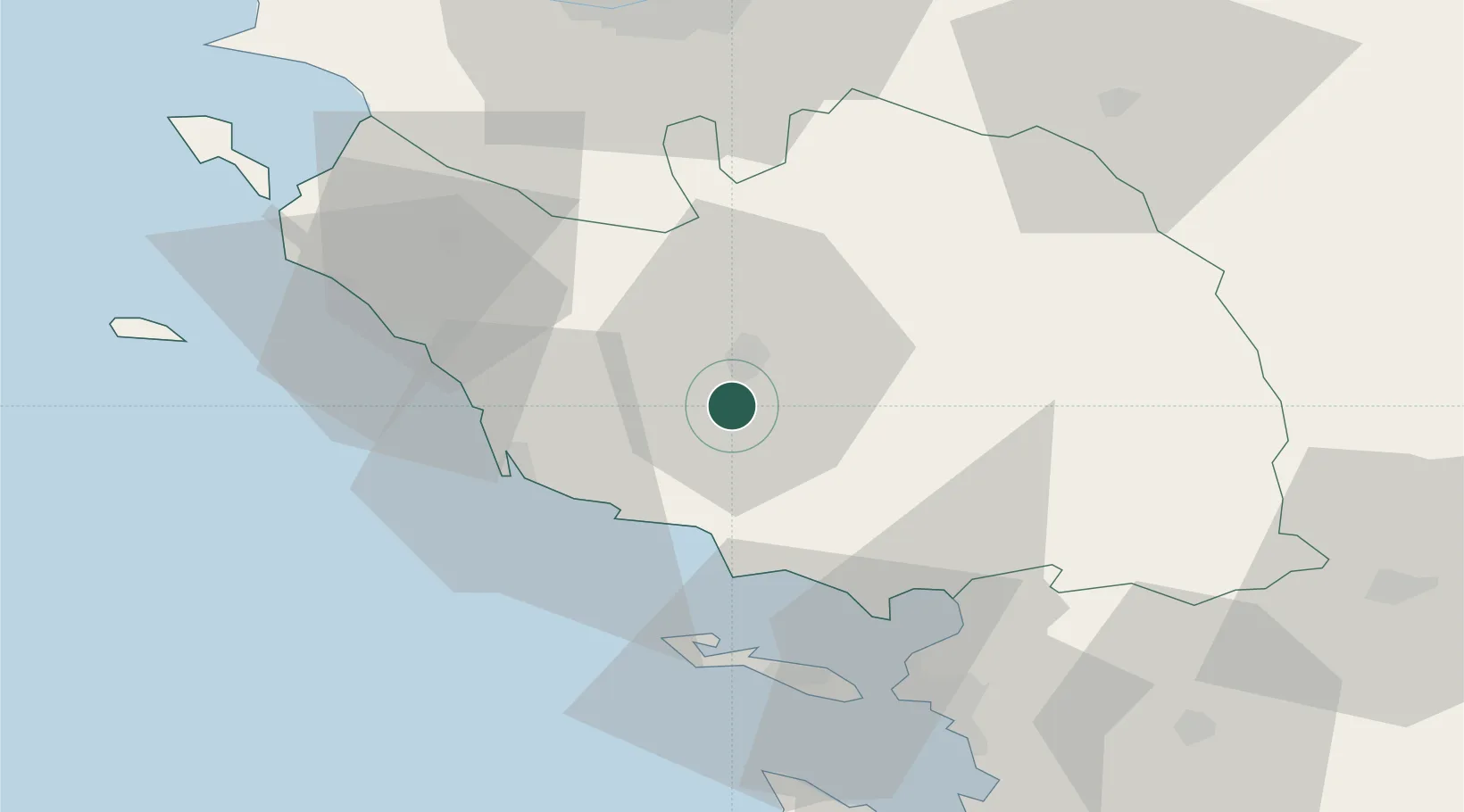
Location
Nearby Logistics Neighbours
Cities
- 1La Roche-sur-Yon8 km
- 2Rosnay14 km
- 3Talmont-Saint-Hilaire20 km
- 4Chasnais23 km
- 5L'Île-d'Olonne26 km
Ports
- 1Les Sables D' Olonne29 km
- 2La Pallice51 km
- 3La Rochelle55 km
- 4Nantes67 km
- 5Rochefort84 km
Airports
Trade Zones
- 1ZFU La Rochelle52 km
- 2ZFU Nantes et Saint-Herblain72 km
- 3ZFU Saint-Nazaire98 km
- 4ZFU Angers117 km
- 5ZFU Le Mans194 km
DatabookThe Record of Consolidated Knowledge
France beyond logistics?