UN/LOCODE hub · France
FRDLJ

L'Île-d'Olonne

46.5667°, -1.7833°
2
Transport functions

Transport Functions

Port
Multimodal
UN/LOCODE

Hub Profile

Place type
Populated place
GeoNames
Region
Pays de la Loire
GeoNames
Time zone
Europe/Paris
GeoNames
Elevation
4 m
GeoNames

Location

Location of FRDLJ
Natural Earth 10m (public domain) · Pays de la Loire · FRDLJ · 46.57, -1.78GoogleOSMYandex

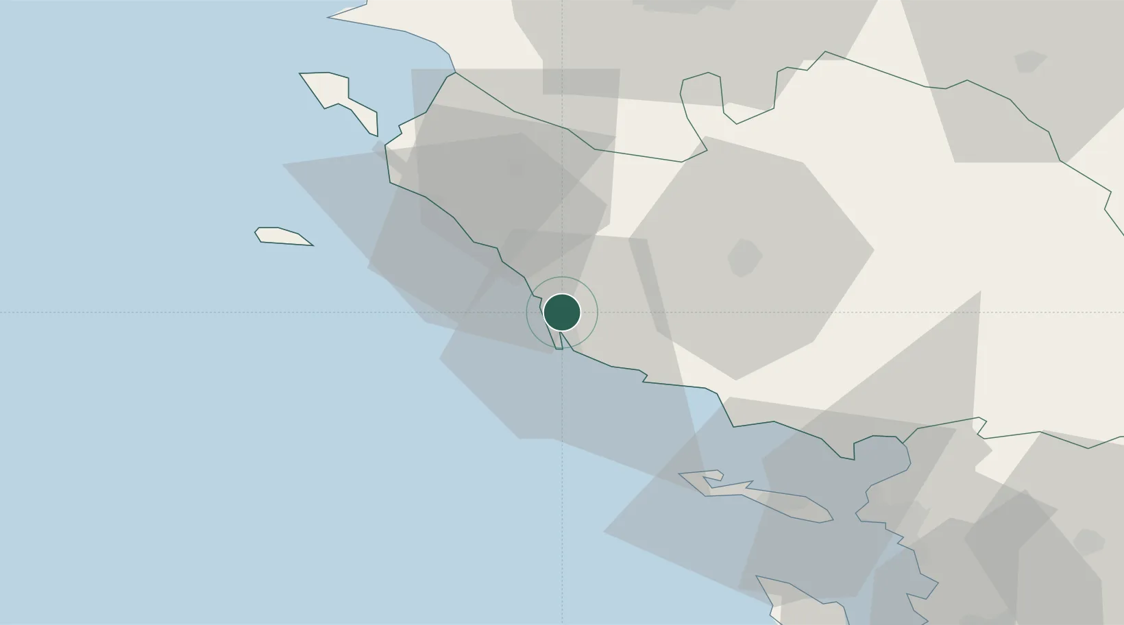
Nearby Logistics Neighbours

Cities
  1. 1Brem-sur-Mer5 km
  2. 2Les Sables-d'Olonne7 km
  3. 3Talmont-Saint-Hilaire17 km
  4. 4Saint-Gilles-Croix-de-Vie17 km
  5. 5Saint-Hilaire-de-Riez20 km
Nearest neighbours — logibook spatial index (haversine) over the source coordinates
Ports
  1. 1Les Sables D' Olonne8 km
  2. 2La Pallice62 km
  3. 3La Rochelle67 km
  4. 4Nantes72 km
  5. 5Donges84 km
Nearest neighbours — logibook spatial index (haversine) over the source coordinates
Airports
  1. 1La Roche-sur-Yon Les Ajoncs Airport34 km
  2. 2Beauvoir Fromentine Airfield43 km
  3. 3Ile D'Yeu Port Joinville Heliport47 km
  4. 4Île d'Yeu Airport49 km
  5. 5La Rochelle Île de Ré Airport62 km
Nearest neighbours — logibook spatial index (haversine) over the source coordinates
Trade Zones
  1. 1ZFU La Rochelle63 km
  2. 2ZFU Nantes et Saint-Herblain73 km
  3. 3ZFU Saint-Nazaire87 km
  4. 4ZFU Angers136 km
  5. 5Port de Bordeaux208 km
Nearest neighbours — logibook spatial index (haversine) over the source coordinates
DatabookThe Record of Consolidated Knowledge
France beyond logistics?
Browse databook

All Sources

LocationsUN/LOCODE
UN/LOCODE — free
Portsthe NGA World Port Index
Public domain (US gov)
AirportsOurAirports
Public domain
Trade Zonesthe World Bank SEZ database
CC BY 4.0
Trade ZonesOpen Zone Map
CC BY
← France locations