Transport Functions
Multimodal
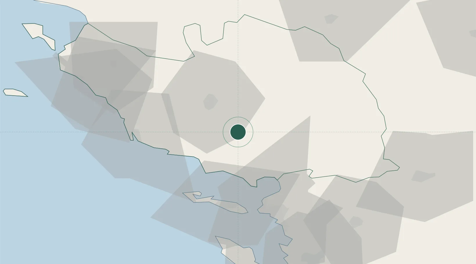
Hub Profile
Place type
Populated place
Region
Pays de la Loire
Population
461
Time zone
Europe/Paris
Elevation
62 m
Location
Nearby Logistics Neighbours
Cities
- 1Chasnais10 km
- 2Aubigny14 km
- 3La Roche-sur-Yon18 km
- 4Talmont-Saint-Hilaire25 km
- 5Mouzeuil-Saint-Martin27 km
Ports
- 1Les Sables D' Olonne38 km
- 2La Pallice41 km
- 3La Rochelle44 km
- 4Rochefort72 km
- 5Tonnay Charente74 km
Airports
Trade Zones
- 1ZFU La Rochelle42 km
- 2ZFU Nantes et Saint-Herblain83 km
- 3ZFU Saint-Nazaire111 km
- 4ZFU Angers118 km
- 5Port de Bordeaux190 km
DatabookThe Record of Consolidated Knowledge
France beyond logistics?