Transport Functions
Road
Multimodal
Hub Profile
Place type
Populated place
Region
Pays de la Loire
Time zone
Europe/Paris
Elevation
4 m
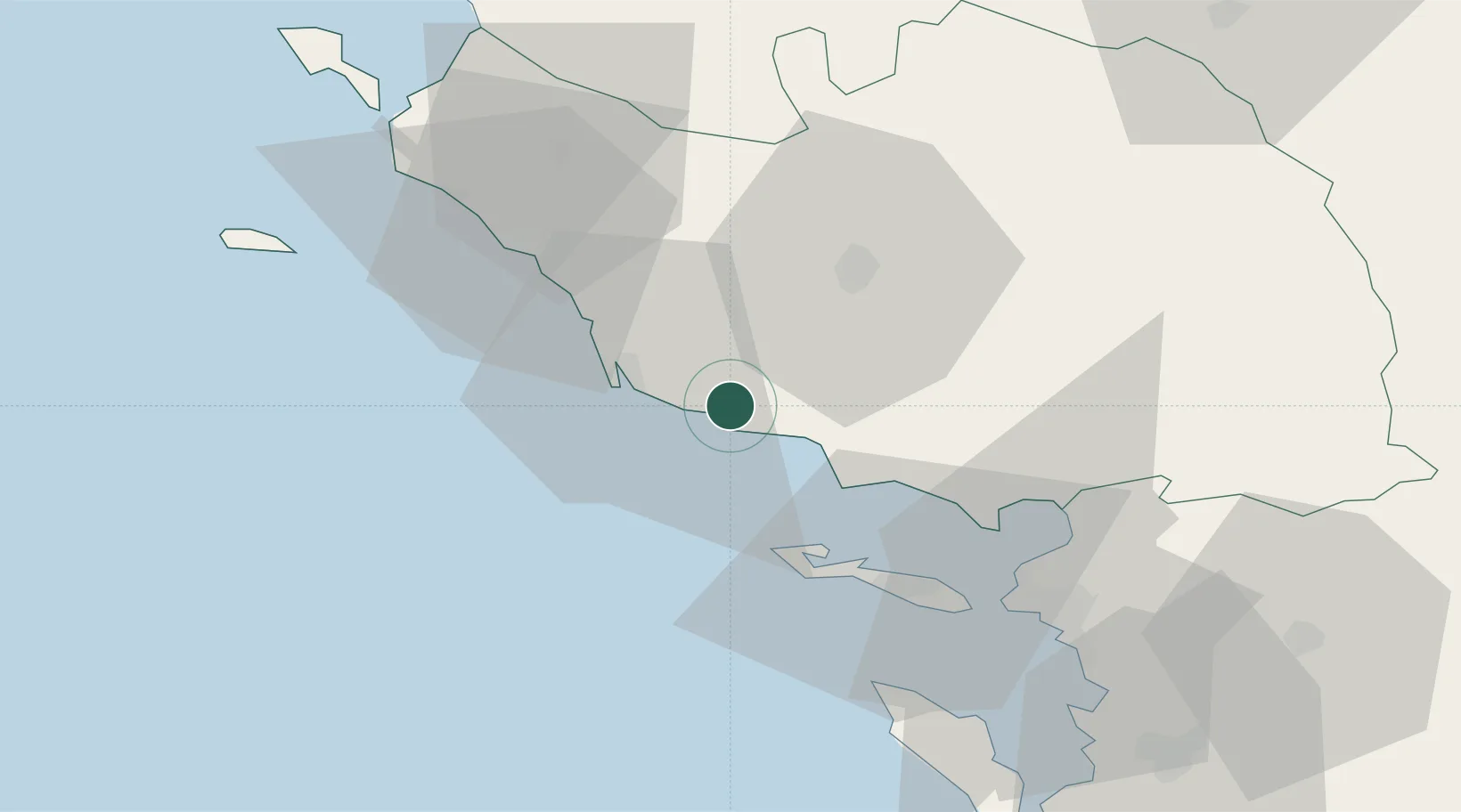
Location
Nearby Logistics Neighbours
Cities
- 1Les Sables-d'Olonne13 km
- 2L'Île-d'Olonne17 km
- 3Aubigny20 km
- 4Brem-sur-Mer21 km
- 5Rosnay25 km
Ports
- 1Les Sables D' Olonne15 km
- 2La Pallice45 km
- 3La Rochelle50 km
- 4Rochefort78 km
- 5Tonnay Charente81 km
Airports
Trade Zones
- 1ZFU La Rochelle46 km
- 2ZFU Nantes et Saint-Herblain85 km
- 3ZFU Saint-Nazaire103 km
- 4ZFU Angers137 km
- 5Port de Bordeaux192 km
DatabookThe Record of Consolidated Knowledge
France beyond logistics?