UN/LOCODE hub · France
FRXUX

Chasnais

46.4667°, -1.2167°
520
Population
1
Transport functions

Transport Functions

Multimodal
UN/LOCODE

Hub Profile

Place type
Populated place
GeoNames
Region
Pays de la Loire
GeoNames
Population
520
GeoNames
Time zone
Europe/Paris
GeoNames
Elevation
5 m
GeoNames

Location

Location of FRXUX
Natural Earth 10m (public domain) · Pays de la Loire · FRXUX · 46.47, -1.22GoogleOSMYandex

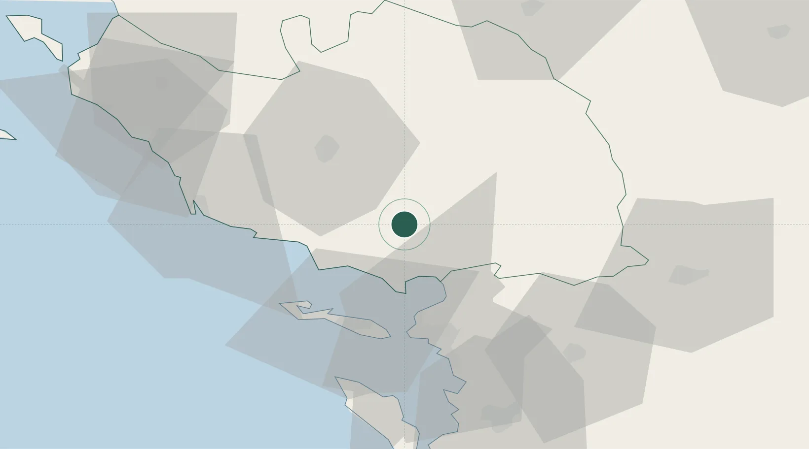
Nearby Logistics Neighbours

Cities
  1. 1Rosnay10 km
  2. 2Mouzeuil-Saint-Martin19 km
  3. 3Aubigny23 km
  4. 4Marans25 km
  5. 5Esnandes26 km
Nearest neighbours — logibook spatial index (haversine) over the source coordinates
Ports
  1. 1La Pallice33 km
  2. 2La Rochelle36 km
  3. 3Les Sables D' Olonne45 km
  4. 4Rochefort63 km
  5. 5Tonnay Charente64 km
Nearest neighbours — logibook spatial index (haversine) over the source coordinates
Airports
  1. 1La Roche-sur-Yon Les Ajoncs Airport29 km
  2. 2La Rochelle Île de Ré Airport32 km
  3. 3Niort - Marais Poitevin Airport65 km
  4. 4Rochefort-Saint-Agnant (BA 721) Airport67 km
  5. 5Beauvoir Fromentine Airfield82 km
Nearest neighbours — logibook spatial index (haversine) over the source coordinates
Trade Zones
  1. 1ZFU La Rochelle34 km
  2. 2ZFU Nantes et Saint-Herblain92 km
  3. 3ZFU Saint-Nazaire121 km
  4. 4ZFU Angers122 km
  5. 5Port de Bordeaux181 km
Nearest neighbours — logibook spatial index (haversine) over the source coordinates
DatabookThe Record of Consolidated Knowledge
France beyond logistics?
Browse databook

All Sources

LocationsUN/LOCODE
UN/LOCODE — free
LocationsGeoNames
CC BY 4.0
Portsthe NGA World Port Index
Public domain (US gov)
AirportsOurAirports
Public domain
Trade Zonesthe World Bank SEZ database
CC BY 4.0
Trade ZonesOpen Zone Map
CC BY
← France locations