UN/LOCODE hub · France
FREDM
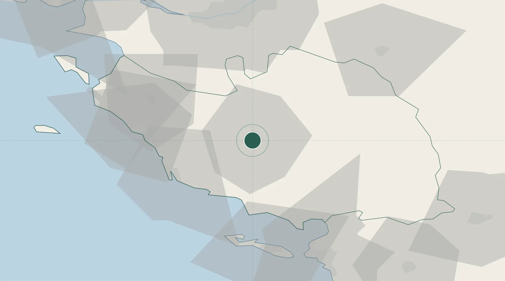
La Roche-sur-Yon
46.6667°, -1.4333°
59,410
Population
2
Transport functions
Transport Functions
Rail
Airport
Hub Profile
Place type
Provincial seat
Region
Pays de la Loire
Population
59,410
Time zone
Europe/Paris
Elevation
73 m
Location
Nearby Logistics Neighbours
Cities
- 1Aubigny8 km
- 2Rosnay18 km
- 3Saint-Sulpice-le-Verdon26 km
- 4La Rabatelière26 km
- 5Talmont-Saint-Hilaire26 km
Ports
- 1Les Sables D' Olonne34 km
- 2La Pallice58 km
- 3Nantes60 km
- 4La Rochelle61 km
- 5Donges85 km
Airports
Trade Zones
- 1ZFU La Rochelle59 km
- 2ZFU Nantes et Saint-Herblain65 km
- 3ZFU Saint-Nazaire93 km
- 4ZFU Angers111 km
- 5ZFU Le Mans188 km
DatabookThe Record of Consolidated Knowledge
France beyond logistics?