UN/LOCODE hub · France
FRUVL
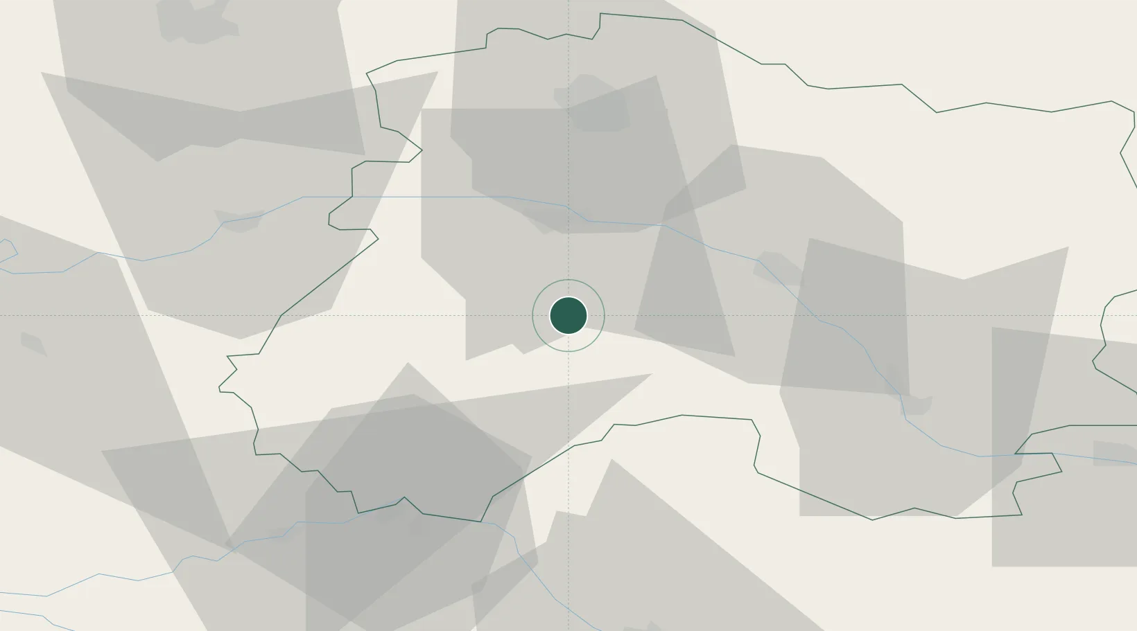
Bergères-lès-Vertus
48.8833°, 4.0000°
533
Population
1
Transport functions
Transport Functions
Multimodal
Hub Profile
Place type
Populated place
Region
Grand Est
Population
533
Time zone
Europe/Paris
Elevation
105 m
Location
Nearby Logistics Neighbours
Cities
- 1Vertus2 km
- 2Gionges6 km
- 3Loisy-en-Brie7 km
- 4Oger8 km
- 5Le Mesnil-sur-Oger8 km
Ports
- 1Bruxelles222 km
- 2Ghent244 km
- 3Antwerpen261 km
- 4Nieuwpoort266 km
- 5Bruges267 km
Airports
Trade Zones
DatabookThe Record of Consolidated Knowledge
France beyond logistics?