Large airport · France
Charles de Gaulle International AirportLFPG
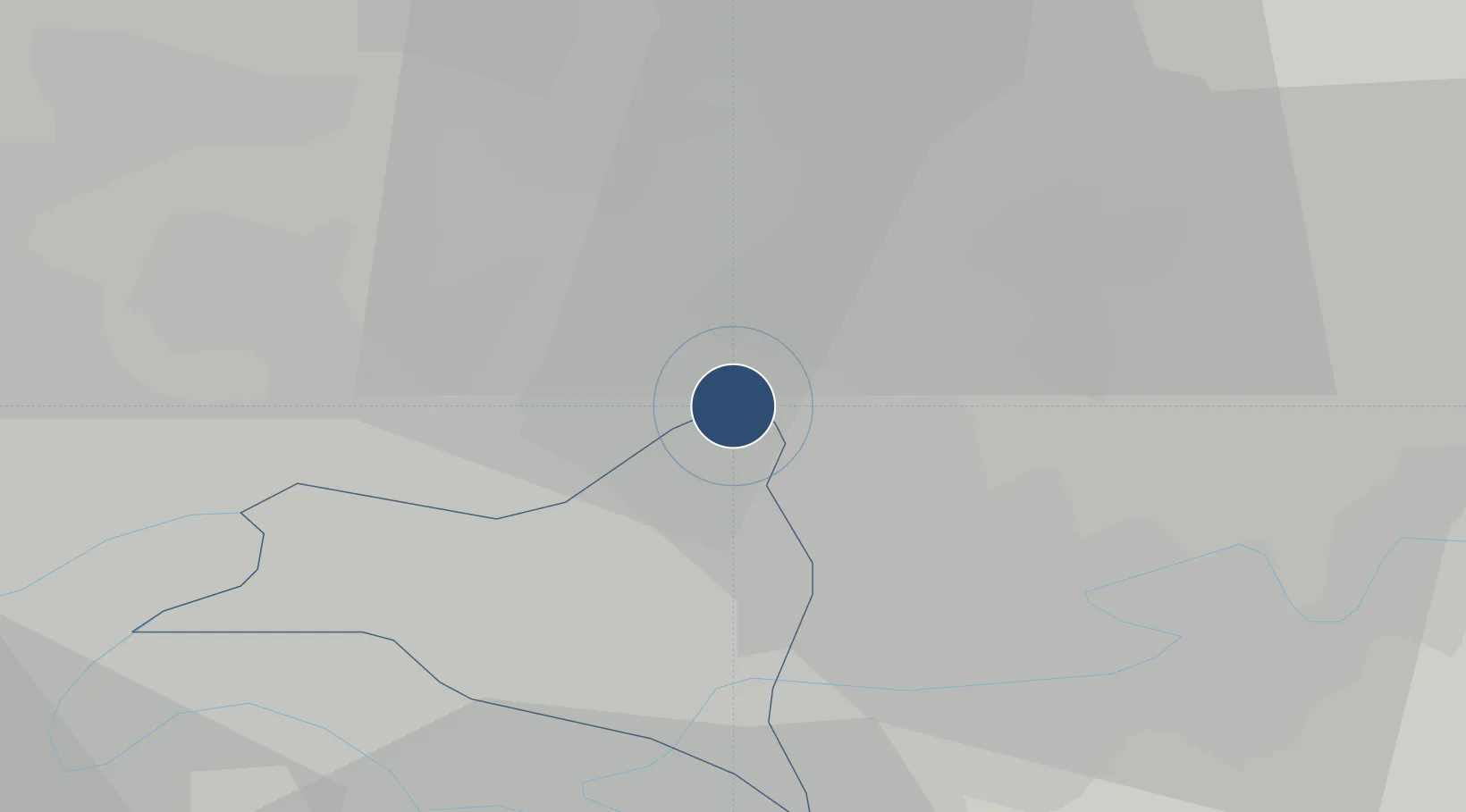
49.0090°, 2.5541°
13,829 ft
Longest runway
4
Runways
392 ft
Elevation
Runway & Layout

Radio Frequencies
ATIS
127.125 MHz
DE GAULLE ATIS
TWR
119.25 MHz
DE GAULLE TWR
TWR
120.65 MHz
DE GAULLE TWR
GND
118.1 MHz
DE GAULLE TRAFFIC
GND
121.6 MHz
DE GAULLE GND
APP
121.15 MHz
DE GAULLE APP
APP
136.275 MHz
DE GAULLE APP
DEP
124.35 MHz
DE GAULLE DEP
PFLT
126.65 MHz
DE GAULLE PREFLIGHT
Navaids
CGN VOR-DME Charles de Gaulle 115.35 MHz
PGS VOR-DME Charles de Gaulle 117.05 MHz
Runways · 4
| Runway | Dimensions | Surface | True heading | Lit |
|---|---|---|---|---|
| 08L/26R | 13,829 × 148ft | Asphalt | 085° | ✓ |
| 09R/27L | 13,780 × 148ft | Asphalt | 086° | ✓ |
| 08R/26L | 8,858 × 197ft | Concrete | 085° | ✓ |
| 09L/27R | 8,858 × 197ft | Asphalt | 085° | ✓ |
Airport Specifications
IATA code
CDG
ICAO code
LFPG
Airport class
Large airport
Scheduled service
Yes
Runway surface
Asphalt
Served city
Paris (Roissy-en-France, Val-d'Oise)
Location
Nearby Logistics Neighbours
Airports
Cities
- 1Charles-de-gaulle Apt/paris1 km
- 2Le Mesnil-Amelot4 km
- 3Villepinte5 km
- 4Villeneuve-sous-Dammartin6 km
- 5Goussainville6 km
Ports
- 1Port Of Rouen119 km
- 2Le Treport146 km
- 3Saint-Valery-Sur-Somme147 km
- 4Dieppe148 km
- 5Honfleur176 km
Trade Zones
- 1ZFU Sevran8 km
- 2ZFU Aulnay-sous-Bois10 km
- 3ZFU Le Blanc-Mesnil, Dugny10 km
- 4ZFU Garges-lès-Gonesse et Sarcelles12 km
- 5ZFU Villiers-le-Bel12 km
DatabookThe Record of Consolidated Knowledge
France beyond logistics?