UN/LOCODE hub · France
FRUOR
Le Mesnil-sur-Oger
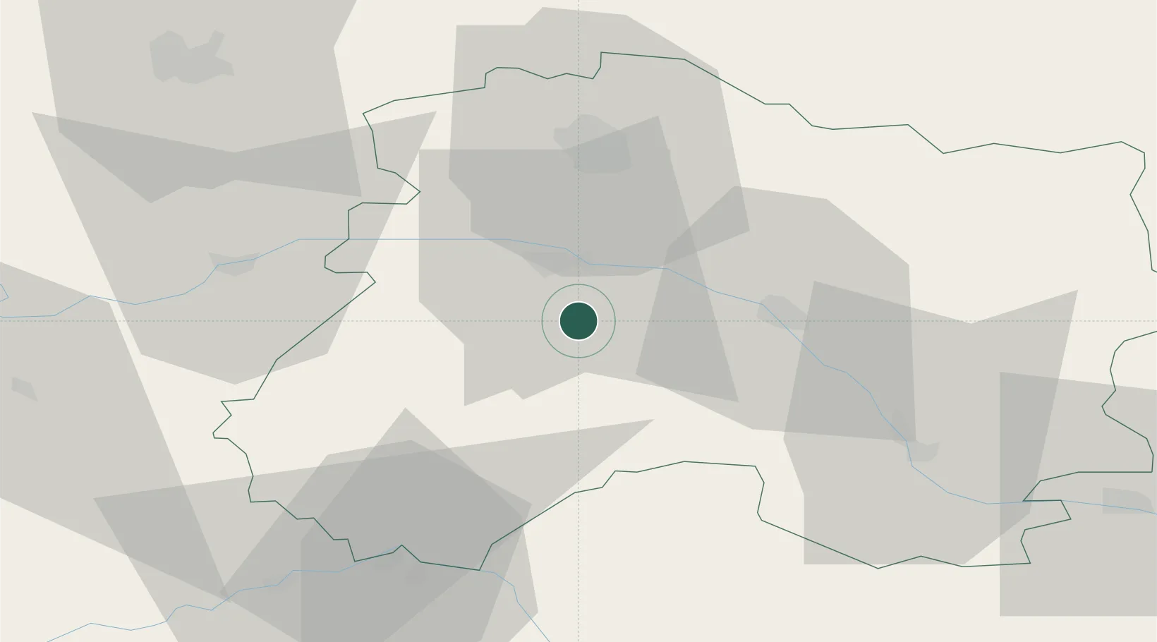
48.9500°, 4.0167°
1,094
Population
2
Transport functions
Transport Functions
Rail
Road
Hub Profile
Place type
Populated place
Region
Grand Est
Population
1,094
Time zone
Europe/Paris
Elevation
122 m
Location
Nearby Logistics Neighbours
Ports
- 1Bruxelles215 km
- 2Ghent236 km
- 3Antwerpen254 km
- 4Nieuwpoort259 km
- 5Bruges260 km
Airports
Trade Zones
DatabookThe Record of Consolidated Knowledge
France beyond logistics?