Transport Functions
Multimodal
Hub Profile
Place type
Populated place
Region
Grand Est
Population
572
Time zone
Europe/Paris
Elevation
120 m
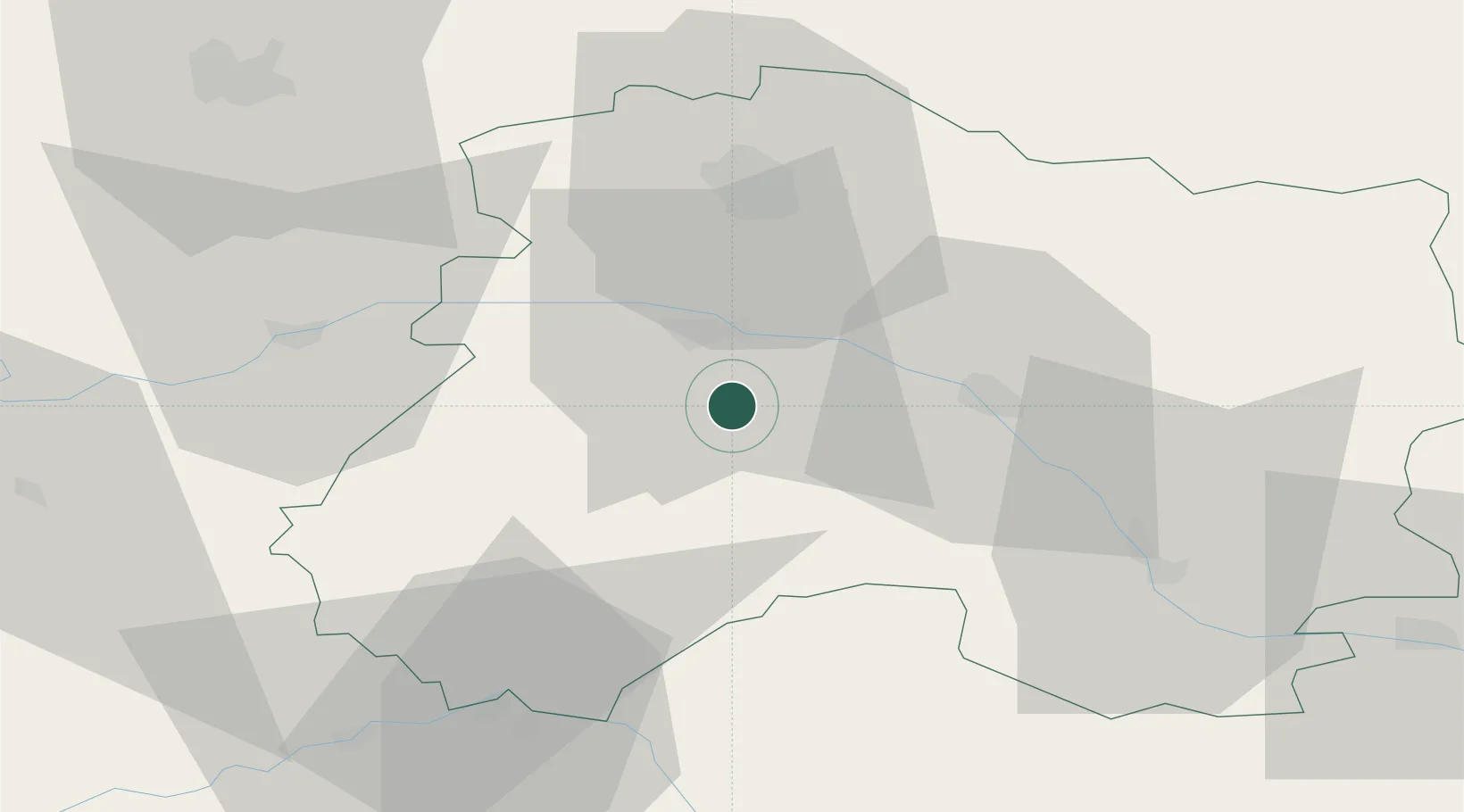
Location
Nearby Logistics Neighbours
Cities
- 1Le Mesnil-sur-Oger0 km
- 2Avize2 km
- 3Grauves4 km
- 4Gionges4 km
- 5Vertus6 km
Ports
- 1Bruxelles215 km
- 2Ghent236 km
- 3Antwerpen254 km
- 4Nieuwpoort259 km
- 5Bruges260 km
Airports
Trade Zones
DatabookThe Record of Consolidated Knowledge
France beyond logistics?