Transport Functions
Multimodal
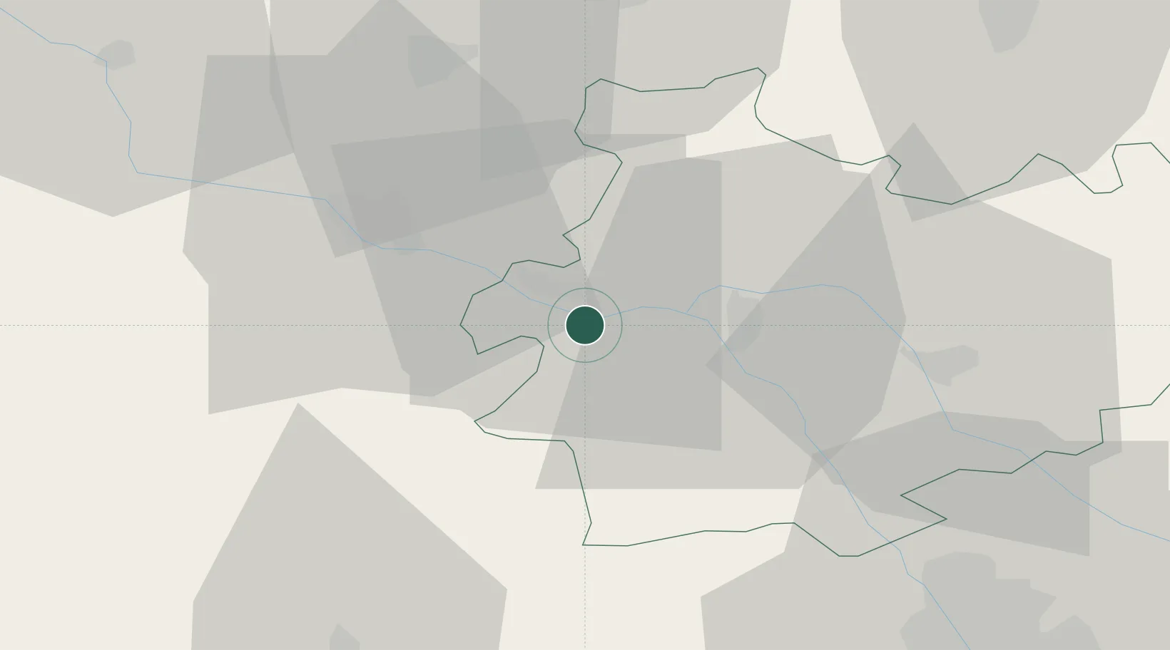
Hub Profile
Place type
Populated place
Region
Occitanie
Population
1,019
Time zone
Europe/Paris
Elevation
116 m
Location
Nearby Logistics Neighbours
Cities
- 1Lamagistère10 km
- 2Castelnau-d'Auzan14 km
- 3Beaumont-de-Lomagne21 km
- 4Avensac26 km
- 5Marignac26 km
Airports
Trade Zones
- 1ZFU Toulouse67 km
- 2ZFU Hauts de Garonne145 km
- 3Port de Bordeaux148 km
- 4ZFU Béziers203 km
- 5ZFU Perpignan221 km
DatabookThe Record of Consolidated Knowledge
France beyond logistics?