Transport Functions
Road
Multimodal
Hub Profile
Place type
Populated place
Region
Occitanie
Time zone
Europe/Paris
Elevation
154 m
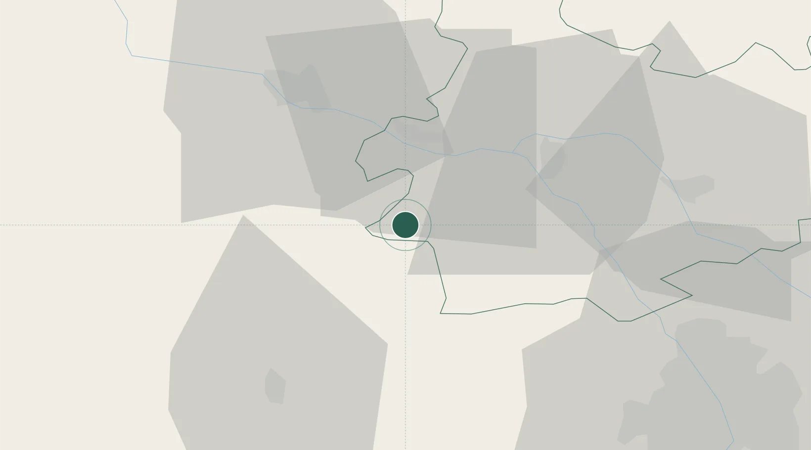
Location
Nearby Logistics Neighbours
Cities
- 1Auvillar14 km
- 2Avensac14 km
- 3Marignac14 km
- 4Beaumont-de-Lomagne14 km
- 5Bajonnette17 km
Airports
Trade Zones
- 1ZFU Toulouse62 km
- 2ZFU Hauts de Garonne149 km
- 3Port de Bordeaux152 km
- 4ZFU Béziers204 km
- 5ZFU Perpignan217 km
DatabookThe Record of Consolidated Knowledge
France beyond logistics?