Transport Functions
Port
Road
Hub Profile
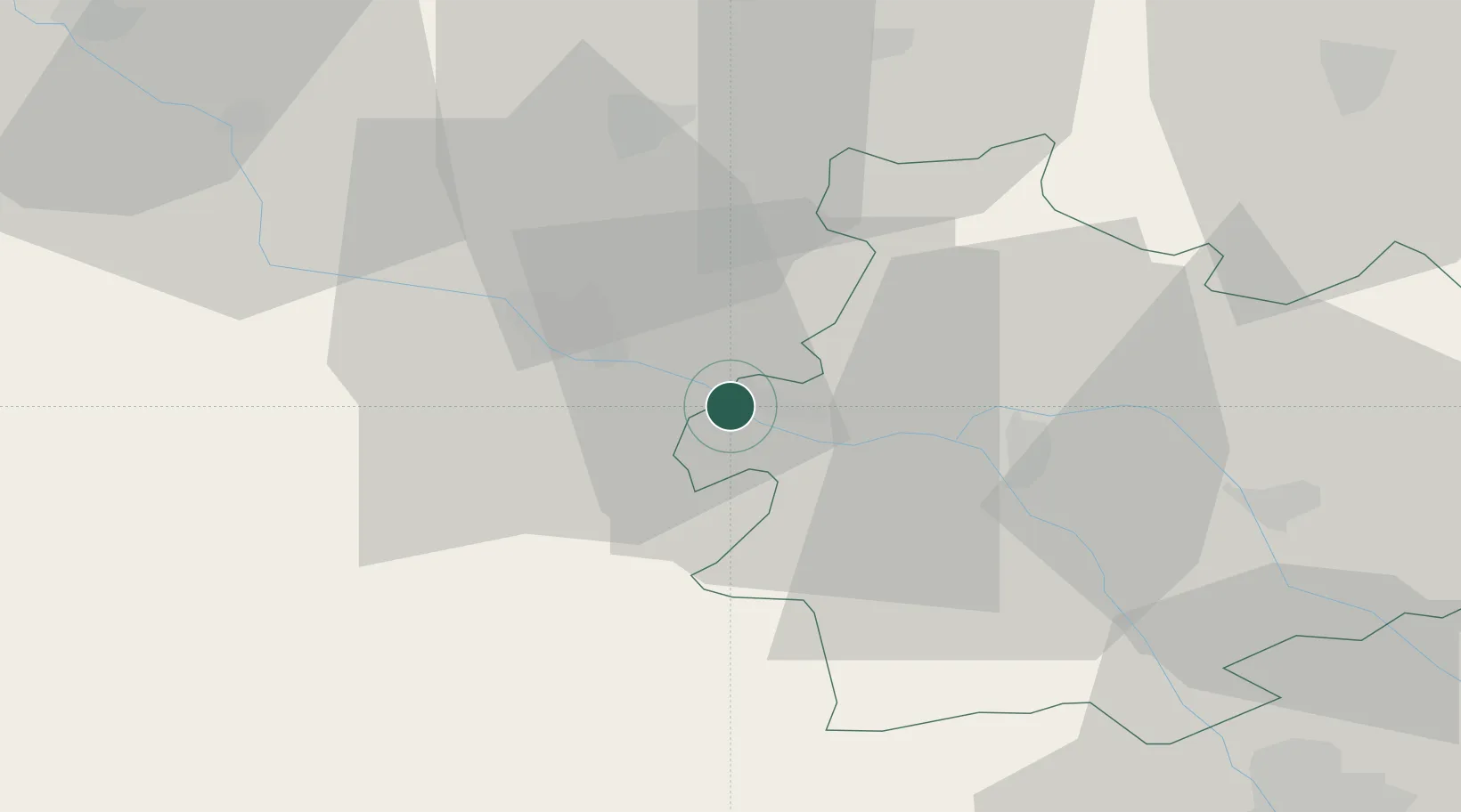
Place type
Populated place
Region
Occitanie
Population
1,262
Time zone
Europe/Paris
Elevation
56 m
Location
Nearby Logistics Neighbours
Cities
- 1Auvillar10 km
- 2Agen17 km
- 3Castelnau-d'Auzan19 km
- 4Frespech22 km
- 5Massoulès27 km
Airports
Trade Zones
- 1ZFU Toulouse77 km
- 2ZFU Hauts de Garonne135 km
- 3Port de Bordeaux138 km
- 4ZFU Béziers213 km
- 5ZFU Perpignan231 km
DatabookThe Record of Consolidated Knowledge
France beyond logistics?