Transport Functions
Multimodal
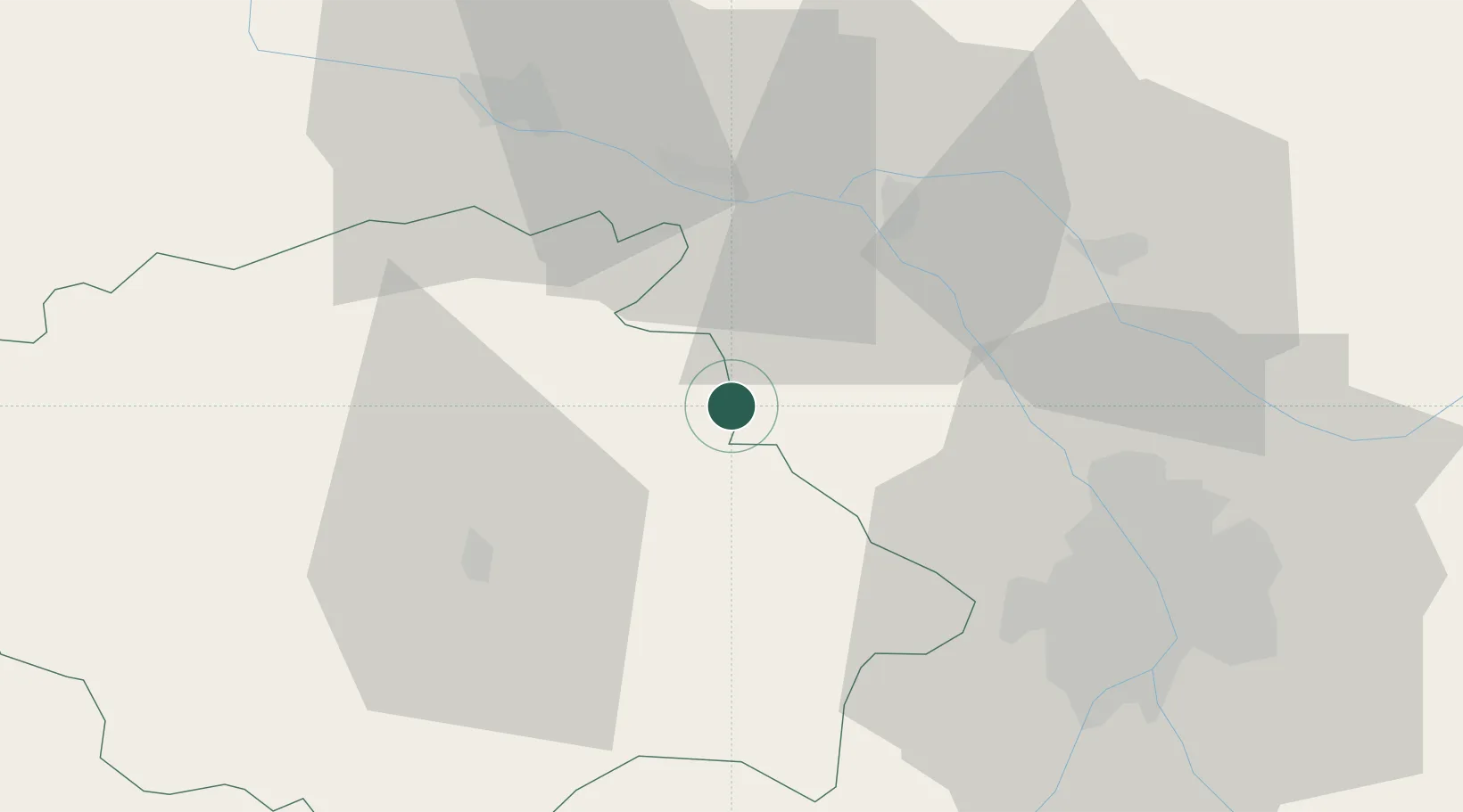
Hub Profile
Place type
Populated place
Region
Occitanie
Population
579
Time zone
Europe/Paris
Elevation
150 m
Location
Nearby Logistics Neighbours
Cities
- 1Avensac0 km
- 2Beaumont-de-Lomagne9 km
- 3Bajonnette10 km
- 4Mauvezin11 km
- 5Castelnau-d'Auzan14 km
Ports
- 1Bordeaux164 km
- 2Ambes174 km
- 3Blaye191 km
- 4Bayonne194 km
- 5Port-La-Nouvelle197 km
Airports
Trade Zones
- 1ZFU Toulouse50 km
- 2ZFU Hauts de Garonne161 km
- 3Port de Bordeaux165 km
- 4ZFU Béziers195 km
- 5ZFU Perpignan205 km
DatabookThe Record of Consolidated Knowledge
France beyond logistics?