UN/LOCODE hub · France
FREEB
Beaumont-de-Lomagne
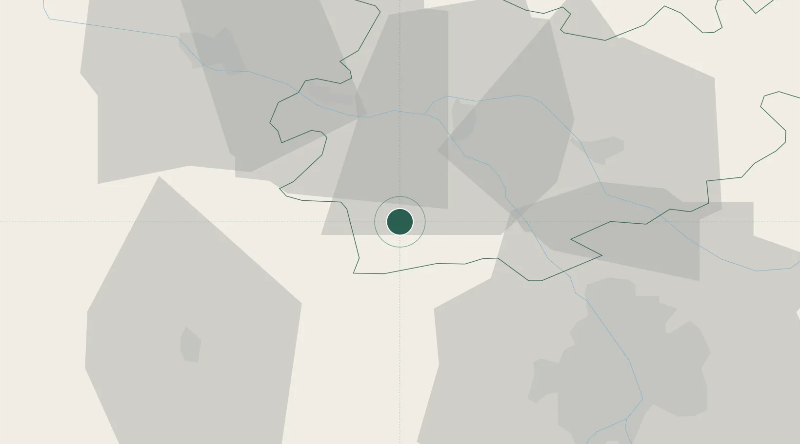
43.8833°, 0.9833°
3,655
Population
1
Transport functions
Transport Functions
Multimodal
Hub Profile
Place type
Populated place
Region
Occitanie
Population
3,655
Time zone
Europe/Paris
Elevation
127 m
Location
Nearby Logistics Neighbours
Cities
- 1Avensac9 km
- 2Marignac9 km
- 3Saint-Sardos12 km
- 4Castelnau-d'Auzan14 km
- 5Mauvezin19 km
Ports
- 1Bordeaux165 km
- 2Ambes174 km
- 3Blaye191 km
- 4Port-La-Nouvelle194 km
- 5Pauillac201 km
Airports
Trade Zones
- 1ZFU Toulouse48 km
- 2ZFU Hauts de Garonne163 km
- 3Port de Bordeaux166 km
- 4ZFU Béziers190 km
- 5ZFU Perpignan203 km
DatabookThe Record of Consolidated Knowledge
France beyond logistics?