UN/LOCODE hub · France
FRUUR
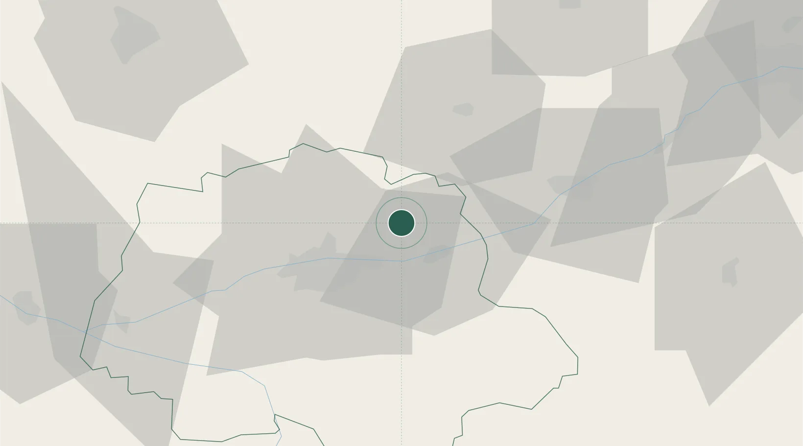
Champtocé-sur-Loire
47.5000°, 0.9000°
1,610
Population
1
Transport functions
Transport Functions
Multimodal
Hub Profile
Place type
Populated place
Region
Pays de la Loire
Population
1,610
Time zone
Europe/Paris
Elevation
29 m
Location
Nearby Logistics Neighbours
Cities
- 1Reugny2 km
- 2Brognard5 km
- 3Chançay6 km
- 4Linières-Bouton6 km
- 5Saint-Ouen-les-Vignes8 km
Ports
- 1Nantes189 km
- 2Port De Caen209 km
- 3Ouistreham216 km
- 4Deauville216 km
- 5La Rochelle217 km
Airports
- 1Tours Val de Loire Airport15 km
- 2Châteaudun Airfield72 km
- 3Le Mans-Arnage Airport72 km
- 4Orléans-Bricy (BA 123) Air Base84 km
- 5Angers Marcé airport91 km
Trade Zones
- 1ZFU Blois29 km
- 2ZFU Le Mans79 km
- 3ZFU Orléans82 km
- 4ZFU Angers113 km
- 5ZFU Bourges118 km
DatabookThe Record of Consolidated Knowledge
France beyond logistics?