Transport Functions
Multimodal
Hub Profile
Place type
Populated place
Region
Centre-Val de Loire
Population
1,486
Time zone
Europe/Paris
Elevation
68 m
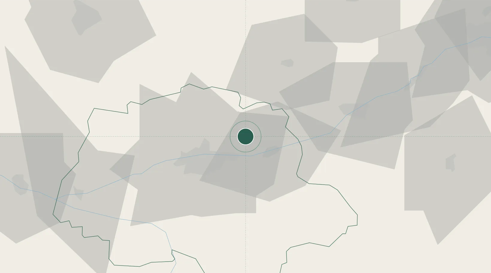
Location
Nearby Logistics Neighbours
Cities
- 1Champtocé-sur-Loire2 km
- 2Chançay4 km
- 3Linières-Bouton4 km
- 4Brognard6 km
- 5Vernou-sur-Brenne8 km
Ports
- 1Nantes187 km
- 2Port De Caen210 km
- 3La Rochelle214 km
- 4La Pallice217 km
- 5Ouistreham217 km
Airports
- 1Tours Val de Loire Airport13 km
- 2Le Mans-Arnage Airport73 km
- 3Châteaudun Airfield74 km
- 4Orléans-Bricy (BA 123) Air Base86 km
- 5Angers Marcé airport90 km
Trade Zones
- 1ZFU Blois31 km
- 2ZFU Le Mans79 km
- 3ZFU Orléans84 km
- 4ZFU Angers111 km
- 5ZFU Bourges118 km
DatabookThe Record of Consolidated Knowledge
France beyond logistics?