Transport Functions
Multimodal
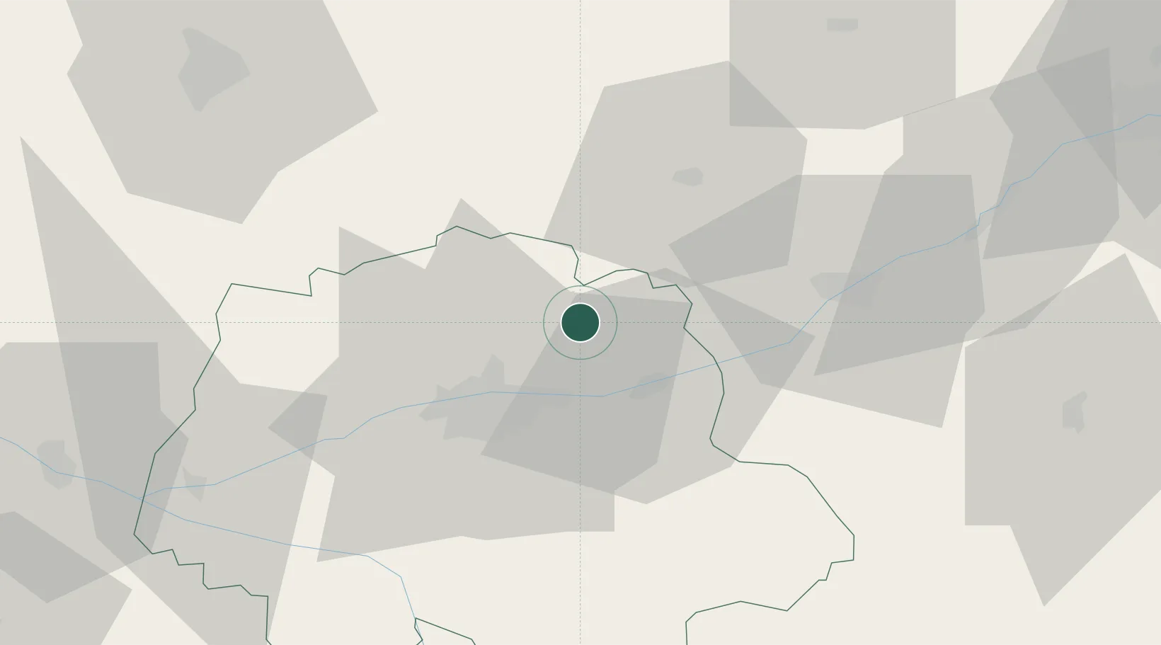
Hub Profile
Place type
Populated place
Region
Bourgogne
Population
437
Time zone
Europe/Paris
Elevation
348 m
Location
Nearby Logistics Neighbours
Cities
- 1Champtocé-sur-Loire5 km
- 2Reugny6 km
- 3Linières-Bouton8 km
- 4Chançay9 km
- 5Saint-Ouen-les-Vignes13 km
Ports
- 1Nantes187 km
- 2Port De Caen204 km
- 3Ouistreham211 km
- 4Deauville212 km
- 5Port Of Rouen214 km
Airports
- 1Tours Val de Loire Airport15 km
- 2Le Mans-Arnage Airport68 km
- 3Châteaudun Airfield70 km
- 4Orléans-Bricy (BA 123) Air Base84 km
- 5Angers Marcé airport89 km
Trade Zones
- 1ZFU Blois31 km
- 2ZFU Le Mans75 km
- 3ZFU Orléans82 km
- 4ZFU Angers110 km
- 5ZFU Alençon116 km
DatabookThe Record of Consolidated Knowledge
France beyond logistics?