Transport Functions
Road
Multimodal
Hub Profile
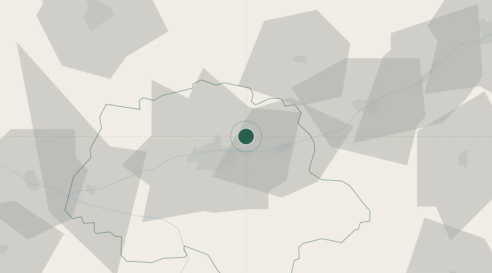
Place type
Populated place
Region
Pays de la Loire
Population
98
Time zone
Europe/Paris
Elevation
56 m
Location
Nearby Logistics Neighbours
Cities
- 1Chançay3 km
- 2Reugny4 km
- 3Vernou-sur-Brenne6 km
- 4Champtocé-sur-Loire6 km
- 5Brognard8 km
Ports
- 1Nantes183 km
- 2Port De Caen210 km
- 3La Rochelle210 km
- 4La Pallice213 km
- 5Tonnay Charente216 km
Airports
Trade Zones
- 1ZFU Blois35 km
- 2ZFU Le Mans78 km
- 3ZFU Orléans88 km
- 4ZFU Angers108 km
- 5ZFU Bourges121 km
DatabookThe Record of Consolidated Knowledge
France beyond logistics?