Transport Functions
Multimodal
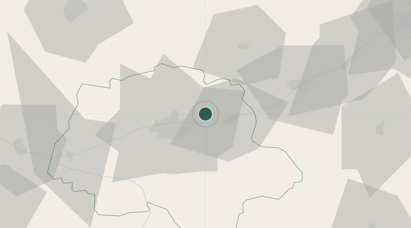
Hub Profile
Place type
Populated place
Region
Centre-Val de Loire
Population
986
Time zone
Europe/Paris
Elevation
74 m
Location
Nearby Logistics Neighbours
Cities
- 1Linières-Bouton3 km
- 2Reugny4 km
- 3Vernou-sur-Brenne4 km
- 4Champtocé-sur-Loire6 km
- 5Lussault-sur-Loire7 km
Ports
- 1Nantes186 km
- 2La Rochelle211 km
- 3Port De Caen213 km
- 4La Pallice213 km
- 5Tonnay Charente216 km
Airports
- 1Tours Val de Loire Airport11 km
- 2Le Mans-Arnage Airport75 km
- 3Châteaudun Airfield78 km
- 4Angers Marcé airport89 km
- 5Orléans-Bricy (BA 123) Air Base90 km
Trade Zones
- 1ZFU Blois34 km
- 2ZFU Le Mans81 km
- 3ZFU Orléans87 km
- 4ZFU Angers110 km
- 5ZFU Bourges118 km
DatabookThe Record of Consolidated Knowledge
France beyond logistics?