Transport Functions
Multimodal
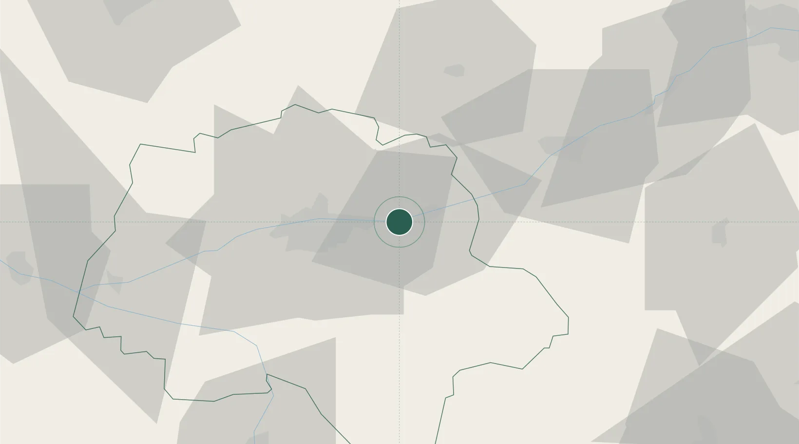
Hub Profile
Place type
Populated place
Region
Centre-Val de Loire
Population
696
Time zone
Europe/Paris
Elevation
74 m
Location
Nearby Logistics Neighbours
Cities
- 1Vernou-sur-Brenne5 km
- 2Dierre6 km
- 3Montlouis-sur-Loire7 km
- 4Chançay7 km
- 5Azay-sur-Cher8 km
Ports
- 1Nantes189 km
- 2La Rochelle210 km
- 3La Pallice213 km
- 4Tonnay Charente214 km
- 5Rochefort217 km
Airports
Trade Zones
- 1ZFU Blois33 km
- 2ZFU Orléans87 km
- 3ZFU Le Mans88 km
- 4ZFU Bourges112 km
- 5ZFU Angers114 km
DatabookThe Record of Consolidated Knowledge
France beyond logistics?