UN/LOCODE hub · France
FRMII
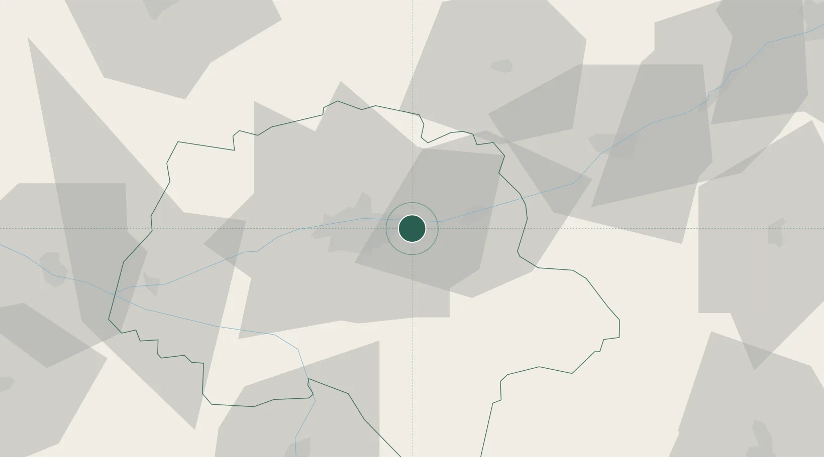
Montlouis-sur-Loire
47.3833°, 0.8333°
10,137
Population
2
Transport functions
Transport Functions
Rail
Road
Hub Profile
Place type
Populated place
Region
Centre-Val de Loire
Population
10,137
Time zone
Europe/Paris
Elevation
80 m
Location
Nearby Logistics Neighbours
Cities
- 1Véretz3 km
- 2Vernou-sur-Brenne4 km
- 3Azay-sur-Cher4 km
- 4Larçay4 km
- 5Lussault-sur-Loire7 km
Ports
- 1Nantes182 km
- 2La Rochelle204 km
- 3La Pallice207 km
- 4Tonnay Charente209 km
- 5Rochefort211 km
Airports
- 1Tours Val de Loire Airport10 km
- 2Le Mans-Arnage Airport79 km
- 3Châteaudun Airfield85 km
- 4Angers Marcé airport88 km
- 5Châteauroux Déols airport89 km
Trade Zones
- 1ZFU Blois40 km
- 2ZFU Le Mans85 km
- 3ZFU Orléans93 km
- 4ZFU Angers108 km
- 5ZFU Bourges118 km
DatabookThe Record of Consolidated Knowledge
France beyond logistics?