Transport Functions
Multimodal
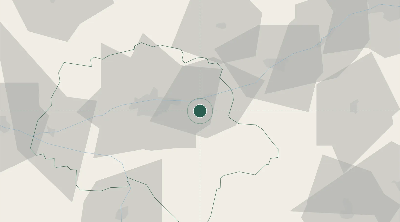
Hub Profile
Place type
Populated place
Region
Centre-Val de Loire
Population
514
Time zone
Europe/Paris
Elevation
58 m
Location
Nearby Logistics Neighbours
Cities
- 1La Croix-en-Touraine3 km
- 2Lussault-sur-Loire6 km
- 3Azay-sur-Cher8 km
- 4Île-d'Houat8 km
- 5Montlouis-sur-Loire10 km
Ports
- 1Nantes191 km
- 2La Rochelle208 km
- 3La Pallice211 km
- 4Tonnay Charente212 km
- 5Rochefort214 km
Airports
Trade Zones
- 1ZFU Blois35 km
- 2ZFU Orléans89 km
- 3ZFU Le Mans94 km
- 4ZFU Bourges108 km
- 5ZFU Angers117 km
DatabookThe Record of Consolidated Knowledge
France beyond logistics?