UN/LOCODE hub · France
FRVUB
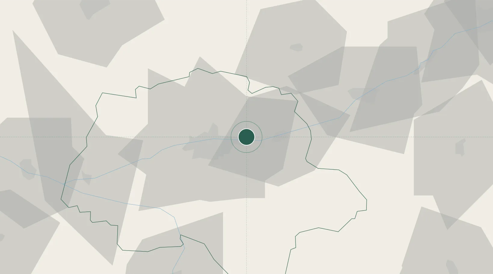
Vernou-sur-Brenne
47.4167°, 0.8500°
2,547
Population
2
Transport functions
Transport Functions
Rail
Road
Hub Profile
Place type
Populated place
Region
Centre-Val de Loire
Population
2,547
Time zone
Europe/Paris
Elevation
53 m
Location
Nearby Logistics Neighbours
Cities
- 1Chançay4 km
- 2Montlouis-sur-Loire4 km
- 3Lussault-sur-Loire5 km
- 4Linières-Bouton6 km
- 5Véretz7 km
Ports
- 1Nantes184 km
- 2La Rochelle207 km
- 3La Pallice210 km
- 4Tonnay Charente212 km
- 5Rochefort215 km
Airports
- 1Tours Val de Loire Airport9 km
- 2Le Mans-Arnage Airport77 km
- 3Châteaudun Airfield82 km
- 4Angers Marcé airport89 km
- 5Châteauroux Déols airport91 km
Trade Zones
- 1ZFU Blois37 km
- 2ZFU Le Mans83 km
- 3ZFU Orléans90 km
- 4ZFU Angers109 km
- 5ZFU Bourges118 km
DatabookThe Record of Consolidated Knowledge
France beyond logistics?