Transport Functions
Rail
Road
Hub Profile
Place type
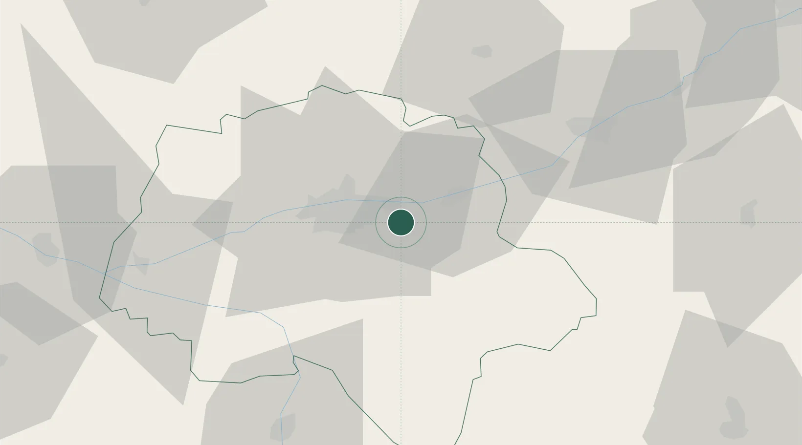
Populated place
Region
Centre-Val de Loire
Population
2,873
Time zone
Europe/Paris
Elevation
64 m
Location
Nearby Logistics Neighbours
Cities
- 1Montlouis-sur-Loire4 km
- 2Véretz4 km
- 3Larçay5 km
- 4Vernou-sur-Brenne7 km
- 5Lussault-sur-Loire8 km
Ports
- 1Nantes183 km
- 2La Rochelle203 km
- 3La Pallice205 km
- 4Tonnay Charente207 km
- 5Rochefort209 km
Airports
- 1Tours Val de Loire Airport13 km
- 2Le Mans-Arnage Airport82 km
- 3Châteauroux Déols airport86 km
- 4Châteaudun Airfield88 km
- 5Angers Marcé airport91 km
Trade Zones
- 1ZFU Blois41 km
- 2ZFU Le Mans89 km
- 3ZFU Orléans94 km
- 4ZFU Angers110 km
- 5ZFU Bourges116 km
DatabookThe Record of Consolidated Knowledge
France beyond logistics?