Transport Functions
Multimodal
Hub Profile
Place type
Populated place
Region
Grand Est
Population
1,848
Time zone
Europe/Paris
Elevation
130 m
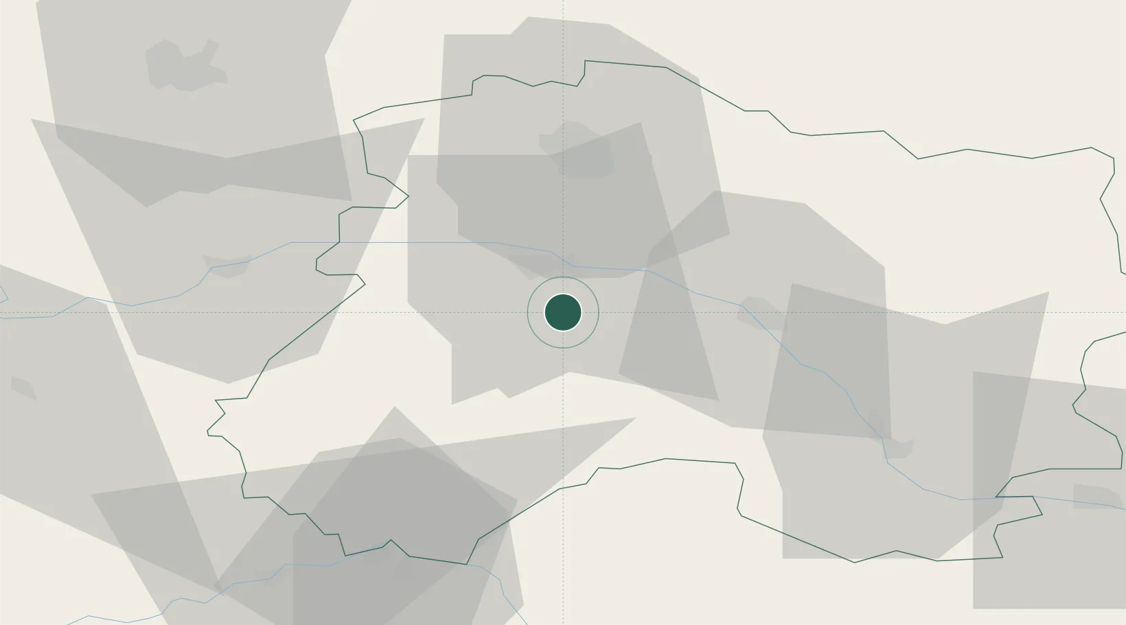
Location
Nearby Logistics Neighbours
Cities
- 1Oger2 km
- 2Le Mesnil-sur-Oger2 km
- 3Grauves4 km
- 4Cuis5 km
- 5Gionges5 km
Ports
- 1Bruxelles213 km
- 2Ghent234 km
- 3Antwerpen252 km
- 4Nieuwpoort257 km
- 5Bruges258 km
Airports
Trade Zones
DatabookThe Record of Consolidated Knowledge
France beyond logistics?