Transport Functions
Multimodal
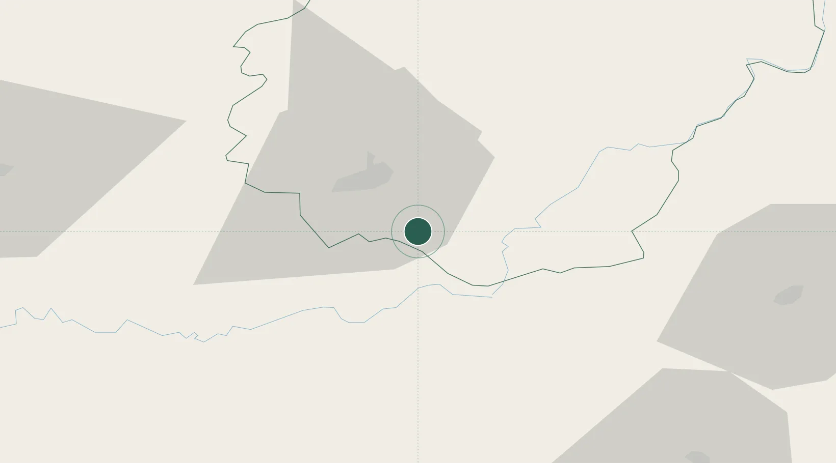
Hub Profile
Place type
Populated place
Region
Nouvelle-Aquitaine
Population
426
Time zone
Europe/Paris
Elevation
266 m
Location
Nearby Logistics Neighbours
Cities
- 1Saillac2 km
- 2Turenne7 km
- 3Cosnac11 km
- 4Bétaille13 km
- 5Brive-la-Gaillarde14 km
Airports
Trade Zones
- 1ZFU Clermont-Ferrand138 km
- 2ZFU Toulouse162 km
- 3Port de Bordeaux173 km
- 4ZFU Hauts de Garonne177 km
- 5ZFU Béziers228 km
DatabookThe Record of Consolidated Knowledge
France beyond logistics?