Transport Functions
Rail
Road
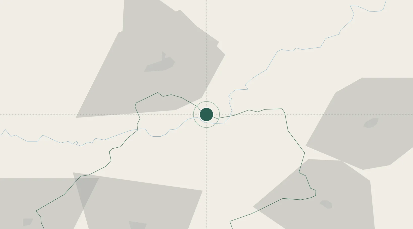
Hub Profile
Place type
Populated place
Region
Occitanie
Population
933
Time zone
Europe/Paris
Elevation
128 m
Location
Nearby Logistics Neighbours
Cities
- 1Saillac12 km
- 2Collonges-la-Rouge13 km
- 3Baladou14 km
- 4Rignac17 km
- 5Turenne17 km
Airports
- 1Brive Souillac airport22 km
- 2Aurillac airport55 km
- 3Cahors Lalbenque airport70 km
- 4Périgueux-Bassillac Airport77 km
- 5Rodez–Aveyron Airport85 km
Trade Zones
- 1ZFU Clermont-Ferrand140 km
- 2ZFU Toulouse151 km
- 3Port de Bordeaux179 km
- 4ZFU Hauts de Garonne183 km
- 5ZFU Béziers215 km
DatabookThe Record of Consolidated Knowledge
France beyond logistics?