UN/LOCODE hub · France
FRBVE
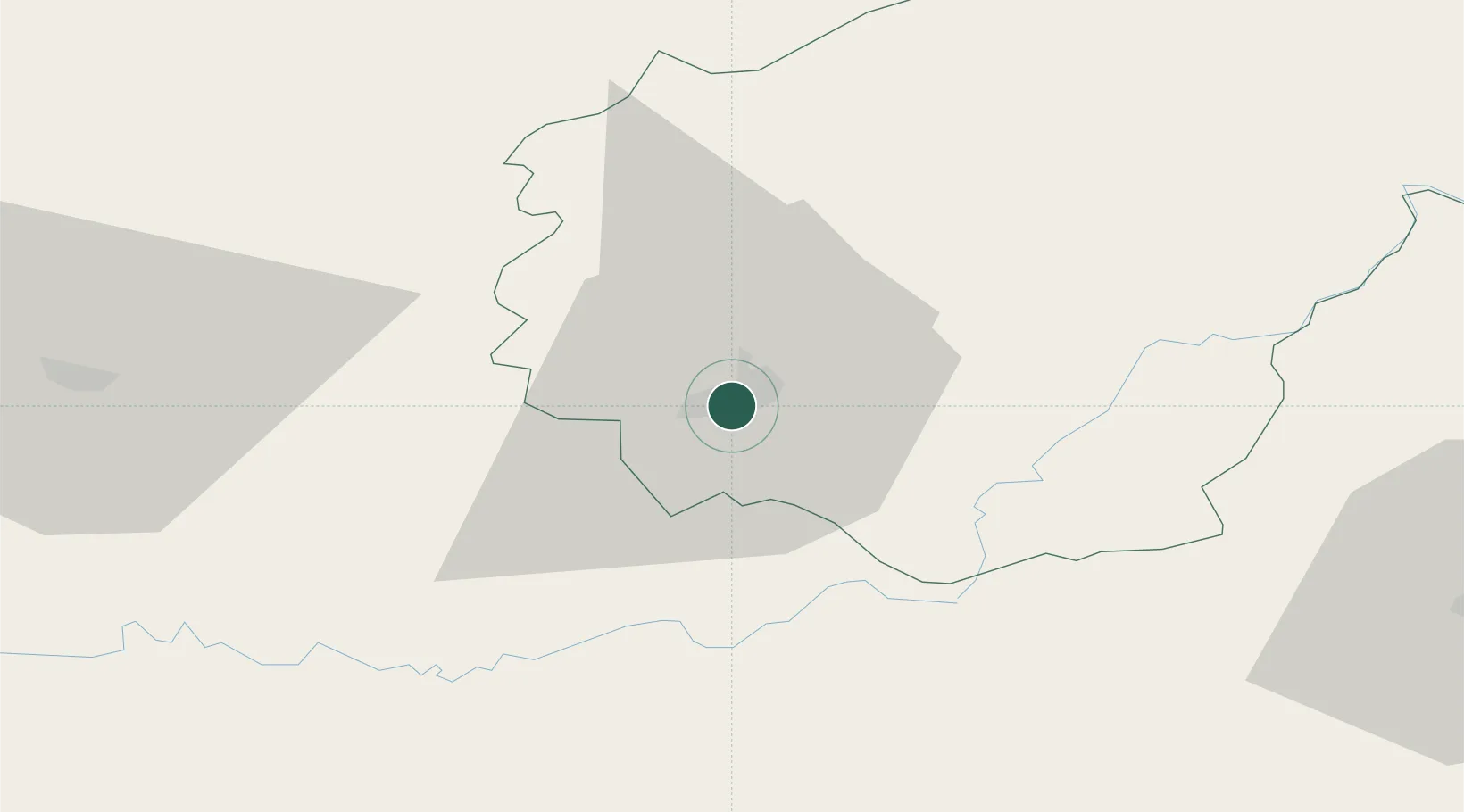
Brive-la-Gaillarde
45.1500°, 1.5333°
53,466
Population
2
Transport functions
Transport Functions
Rail
Airport
Hub Profile
Place type
District seat
Region
Nouvelle-Aquitaine
Population
53,466
Time zone
Europe/Paris
Elevation
119 m
Location
Nearby Logistics Neighbours
Cities
- 1Cosnac4 km
- 2Donzenac9 km
- 3Turenne11 km
- 4Grèzes14 km
- 5Collonges-la-Rouge14 km
Airports
- 1Brive Souillac airport13 km
- 2Périgueux-Bassillac Airport57 km
- 3Aurillac airport76 km
- 4Limoges Airport84 km
- 5Bergerac Dordogne-Périgord airport88 km
Trade Zones
- 1ZFU Clermont-Ferrand140 km
- 2Port de Bordeaux165 km
- 3ZFU Hauts de Garonne170 km
- 4ZFU Toulouse172 km
- 5ZFU Bourges223 km
DatabookThe Record of Consolidated Knowledge
France beyond logistics?