Transport Functions
Rail
Road
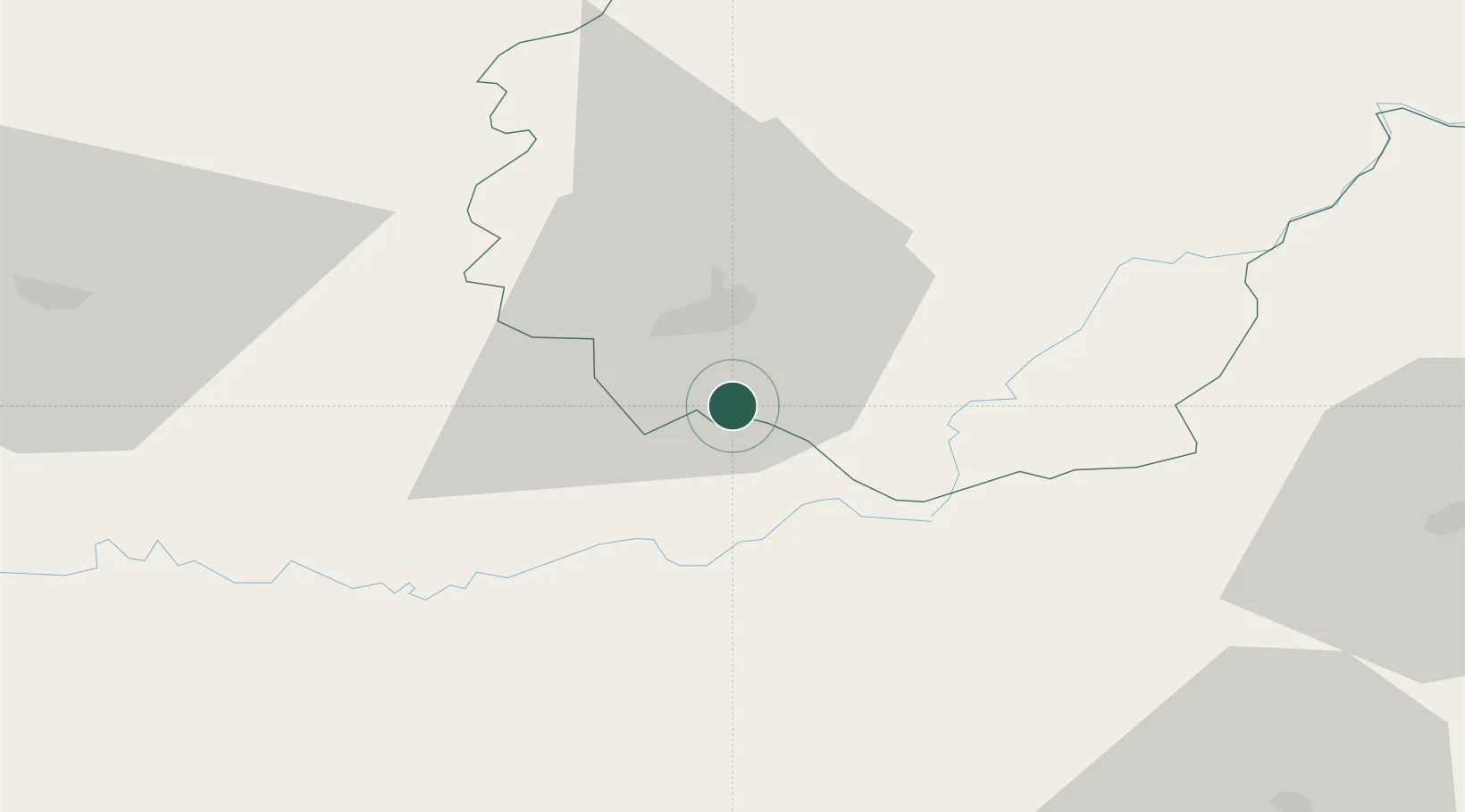
Hub Profile
Place type
Populated place
Region
Nouvelle-Aquitaine
Population
776
Time zone
Europe/Paris
Elevation
282 m
Location
Nearby Logistics Neighbours
Cities
- 1Saillac6 km
- 2Collonges-la-Rouge7 km
- 3Cosnac9 km
- 4Brive-la-Gaillarde11 km
- 5Baladou15 km
Airports
Trade Zones
- 1ZFU Clermont-Ferrand144 km
- 2ZFU Toulouse161 km
- 3Port de Bordeaux166 km
- 4ZFU Hauts de Garonne171 km
- 5ZFU Béziers232 km
DatabookThe Record of Consolidated Knowledge
France beyond logistics?