Transport Functions
Multimodal
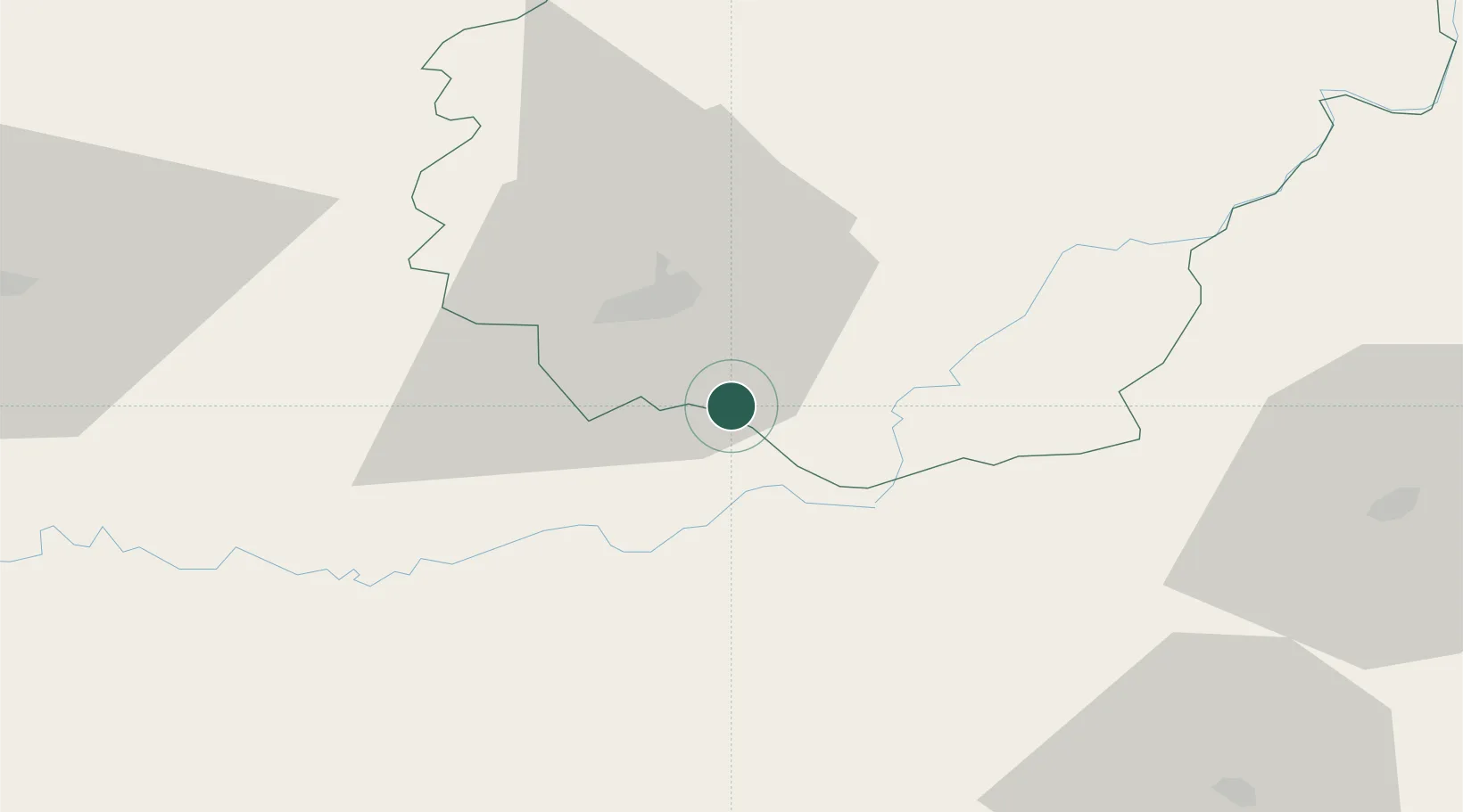
Hub Profile
Place type
Populated place
Region
Nouvelle-Aquitaine
Population
160
Time zone
Europe/Paris
Elevation
191 m
Location
Nearby Logistics Neighbours
Cities
- 1Collonges-la-Rouge2 km
- 2Turenne6 km
- 3Cosnac12 km
- 4Bétaille12 km
- 5Baladou14 km
Airports
Trade Zones
- 1ZFU Clermont-Ferrand141 km
- 2ZFU Toulouse160 km
- 3Port de Bordeaux171 km
- 4ZFU Hauts de Garonne176 km
- 5ZFU Béziers227 km
DatabookThe Record of Consolidated Knowledge
France beyond logistics?