Transport Functions
Multimodal
Hub Profile
Place type
Populated place
Region
Nouvelle-Aquitaine
Population
2,412
Time zone
Europe/Paris
Elevation
233 m
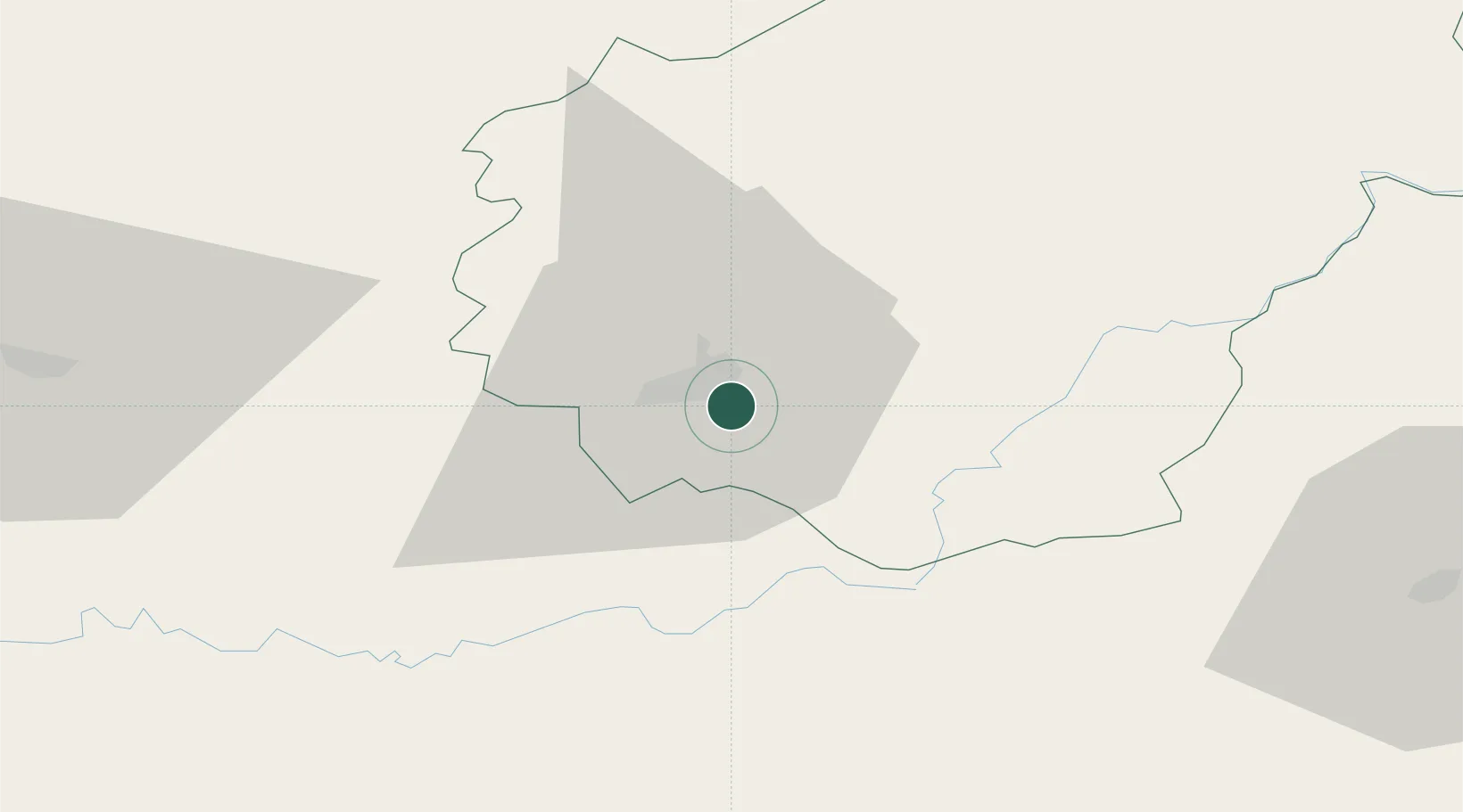
Location
Nearby Logistics Neighbours
Cities
- 1Brive-la-Gaillarde4 km
- 2Turenne9 km
- 3Collonges-la-Rouge11 km
- 4Donzenac12 km
- 5Saillac12 km
Airports
- 1Brive Souillac airport13 km
- 2Périgueux-Bassillac Airport61 km
- 3Aurillac airport71 km
- 4Limoges Airport87 km
- 5Cahors Lalbenque airport87 km
Trade Zones
- 1ZFU Clermont-Ferrand137 km
- 2Port de Bordeaux168 km
- 3ZFU Toulouse170 km
- 4ZFU Hauts de Garonne173 km
- 5ZFU Bourges224 km
DatabookThe Record of Consolidated Knowledge
France beyond logistics?