Medium airport · France

Bergerac Dordogne-Périgord airportLFBE
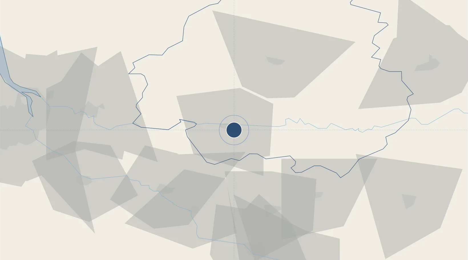
44.8253°, 0.5186°
7,234 ft
Longest runway
1
Runways
171 ft
Elevation

Runway & Layout

Bergerac Dordogne-Périgord airport runway & taxiway layout
Runway & taxiway layout — OpenStreetMap (ODbL) / OurAirports

Radio Frequencies

TWR
119.8 MHz
BERGERAC TWR
APP
119.275 MHz
AQUITAINE APP
OurAirports

Navaids

BGC NDB Bergerac 374 kHz
OurAirports

Runways · 1

RunwayDimensions SurfaceTrue headingLit
09/27 7,234 × 148ft Asphalt 094°
OurAirports

Airport Specifications

IATA code
EGC
OurAirports
ICAO code
LFBE
OurAirports
Airport class
Medium airport
OurAirports
Scheduled service
Yes
OurAirports
Runway surface
Asphalt
OurAirports
Served city
Bergerac
OurAirports

Location

Location of LFBE
Natural Earth 10m (public domain) · Dordogne · LFBE · 44.83, 0.52GoogleOSMYandex

Nearby Logistics Neighbours

Airports
  1. 1Périgueux-Bassillac Airport48 km
  2. 2Agen La Garenne airport73 km
  3. 3Brive Souillac airport80 km
  4. 4Cahors Lalbenque airport92 km
  5. 5Bordeaux–Mérignac Airport97 km
Nearest neighbours — logibook spatial index (haversine) over the source coordinates
Cities
  1. 1Juillac3 km
  2. 2Colombier5 km
  3. 3Conne-de-Labarde5 km
  4. 4Saint-Laurent-des-Vignes6 km
  5. 5Ribagnac7 km
Nearest neighbours — logibook spatial index (haversine) over the source coordinates
Ports
  1. 1Ambes86 km
  2. 2Bordeaux86 km
  3. 3Blaye99 km
  4. 4Pauillac108 km
  5. 5Le Verdon147 km
Nearest neighbours — logibook spatial index (haversine) over the source coordinates
Trade Zones
  1. 1Port de Bordeaux84 km
  2. 2ZFU Hauts de Garonne86 km
  3. 3ZFU Toulouse154 km
  4. 4ZFU La Rochelle201 km
  5. 5ZFU Clermont-Ferrand227 km
Nearest neighbours — logibook spatial index (haversine) over the source coordinates
DatabookThe Record of Consolidated Knowledge
France beyond logistics?
Browse databook

All Sources

AirportsOurAirports
Public domain
Portsthe NGA World Port Index
Public domain (US gov)
LocationsUN/LOCODE
UN/LOCODE — free
Trade Zonesthe World Bank SEZ database
CC BY 4.0
Trade ZonesOpen Zone Map
CC BY
InfrastructureOpenStreetMap
ODbL 1.0
← France airports