Transport Functions
Road
Multimodal
Hub Profile
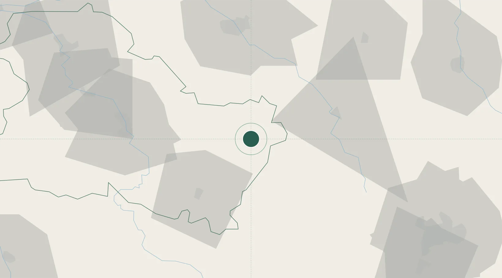
Place type
Populated place
Region
Bourgogne
Population
1,089
Time zone
Europe/Paris
Elevation
183 m
Location
Nearby Logistics Neighbours
Cities
- 1Moulins-en-Tonnerrois11 km
- 2Buffon15 km
- 3Molosmes16 km
- 4Épineuil18 km
- 5Saint-Rémy18 km
Ports
- 1Port Of Rouen295 km
- 2Saint-Valery-Sur-Somme327 km
- 3Le Treport328 km
- 4Dieppe330 km
- 5Honfleur344 km
Airports
- 1Auxerre Branches airport51 km
- 2Troyes-Barberey Airport63 km
- 3Dijon Longvic airport89 km
- 4Saint-Dizier – Robinson Air Base111 km
- 5Chalons Vatry airport112 km
Trade Zones
DatabookThe Record of Consolidated Knowledge
France beyond logistics?