Transport Functions
Multimodal
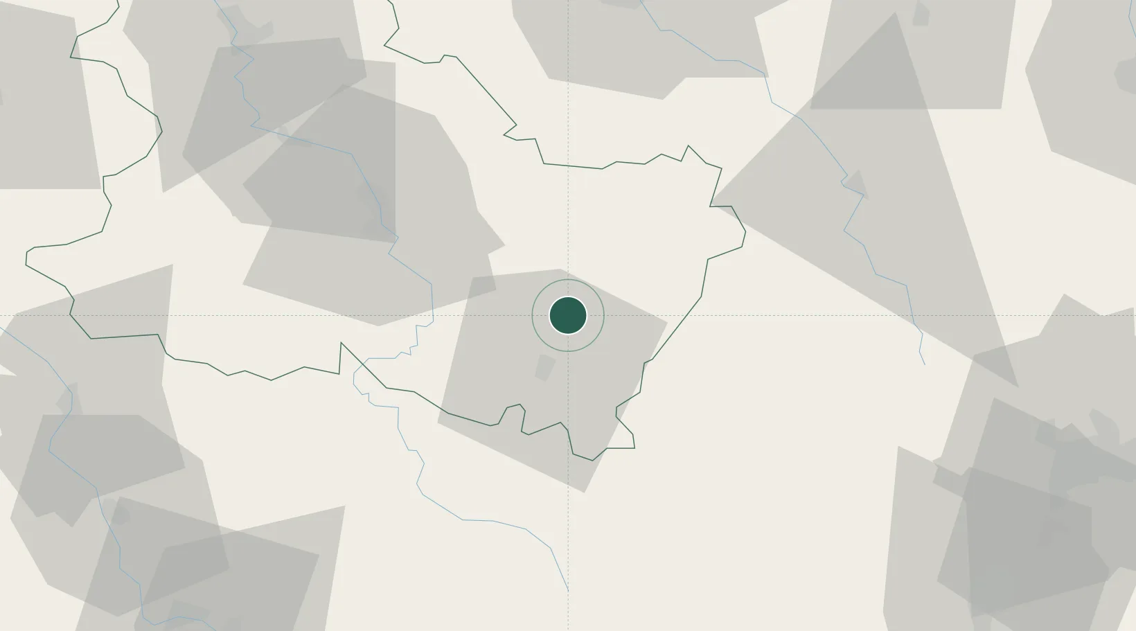
Hub Profile
Place type
Populated place
Region
Bourgogne
Population
416
Time zone
Europe/Paris
Elevation
188 m
Location
Nearby Logistics Neighbours
Cities
- 1Étaule12 km
- 2Moulins-en-Tonnerrois14 km
- 3Arcy-sur-Cure16 km
- 4Fain-lès-Moutiers19 km
- 5Tharoiseau21 km
Ports
- 1Port Of Rouen295 km
- 2Le Treport332 km
- 3Saint-Valery-Sur-Somme333 km
- 4Dieppe333 km
- 5Honfleur341 km
Airports
- 1Auxerre Branches airport44 km
- 2Troyes-Barberey Airport79 km
- 3Dijon Longvic airport93 km
- 4Nevers-Fourchambault Airport94 km
- 5Avord (BA 702) Air Base119 km
Trade Zones
DatabookThe Record of Consolidated Knowledge
France beyond logistics?