UN/LOCODE hub · France
FRUCL

Pleumeleuc

48.1833°, -1.9167°
2,330
Population
2
Transport functions

Transport Functions

Port
Multimodal
UN/LOCODE

Hub Profile

Place type
Populated place
GeoNames
Region
Brittany
GeoNames
Population
2,330
GeoNames
Time zone
Europe/Paris
GeoNames
Elevation
86 m
GeoNames

Location

Location of FRUCL
Natural Earth 10m (public domain) · Brittany · FRUCL · 48.18, -1.92GoogleOSMYandex

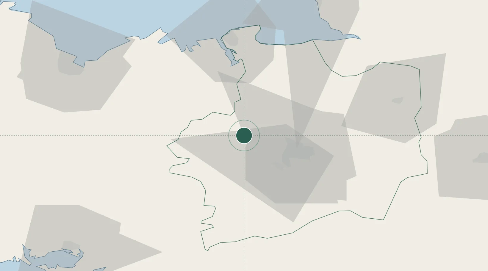
Nearby Logistics Neighbours

Cities
  1. 1Montfort-sur-Meu7 km
  2. 2La Chapelle-du-Lou7 km
  3. 3Irodouer8 km
  4. 4Saint-M'Hervon11 km
  5. 5La Chapelle-des-Fougeretz14 km
Nearest neighbours — logibook spatial index (haversine) over the source coordinates
Ports
  1. 1Saint-Malo52 km
  2. 2Le Legue73 km
  3. 3Granville76 km
  4. 4Donges99 km
  5. 5Montoir100 km
Nearest neighbours — logibook spatial index (haversine) over the source coordinates
Airports
  1. 1Rennes-Saint-Jacques Airport19 km
  2. 2Dinard Pleurtuit Saint-Malo airport47 km
  3. 3Vannes-Meucon Airport79 km
  4. 4Saint-Brieuc-Armor Airport80 km
  5. 5Granville Airport82 km
Nearest neighbours — logibook spatial index (haversine) over the source coordinates
Trade Zones
  1. 1ZFU Saint-Nazaire104 km
  2. 2ZFU Nantes et Saint-Herblain108 km
  3. 3ZFU Angers126 km
  4. 4ZFU Alençon150 km
  5. 5ZFU Le Mans153 km
Nearest neighbours — logibook spatial index (haversine) over the source coordinates
DatabookThe Record of Consolidated Knowledge
France beyond logistics?
Browse databook

All Sources

LocationsUN/LOCODE
UN/LOCODE — free
LocationsGeoNames
CC BY 4.0
Portsthe NGA World Port Index
Public domain (US gov)
AirportsOurAirports
Public domain
Trade Zonesthe World Bank SEZ database
CC BY 4.0
Trade ZonesOpen Zone Map
CC BY
← France locations