UN/LOCODE hub · France
FRCFZ

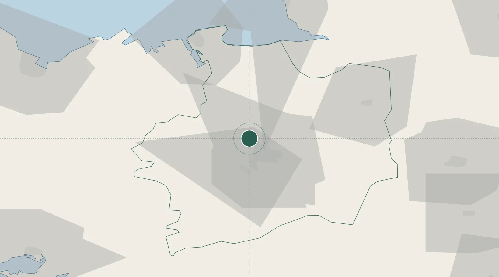
La Chapelle-des-Fougeretz

48.1833°, -1.7333°
3,621
Population
1
Transport functions

Transport Functions

Multimodal
UN/LOCODE

Hub Profile

Place type
Populated place
GeoNames
Region
Brittany
GeoNames
Population
3,621
GeoNames
Time zone
Europe/Paris
GeoNames
Elevation
84 m
GeoNames

Location

Location of FRCFZ
Natural Earth 10m (public domain) · Brittany · FRCFZ · 48.18, -1.73GoogleOSMYandex

Nearby Logistics Neighbours

Cities
  1. 1Montgermont4 km
  2. 2Betton8 km
  3. 3Rennes10 km
  4. 4Pleumeleuc14 km
  5. 5Montreuil-sur-Ille14 km
Nearest neighbours — logibook spatial index (haversine) over the source coordinates
Ports
  1. 1Saint-Malo56 km
  2. 2Granville73 km
  3. 3Le Legue85 km
  4. 4Donges101 km
  5. 5Montoir103 km
Nearest neighbours — logibook spatial index (haversine) over the source coordinates
Airports
  1. 1Rennes-Saint-Jacques Airport13 km
  2. 2Dinard Pleurtuit Saint-Malo airport52 km
  3. 3Laval-Entrammes Airport75 km
  4. 4Granville Airport79 km
  5. 5Vannes-Meucon Airport89 km
Nearest neighbours — logibook spatial index (haversine) over the source coordinates
Trade Zones
  1. 1ZFU Nantes et Saint-Herblain107 km
  2. 2ZFU Saint-Nazaire109 km
  3. 3ZFU Angers115 km
  4. 4ZFU Alençon137 km
  5. 5ZFU Le Mans140 km
Nearest neighbours — logibook spatial index (haversine) over the source coordinates
DatabookThe Record of Consolidated Knowledge
France beyond logistics?
Browse databook

All Sources

LocationsUN/LOCODE
UN/LOCODE — free
LocationsGeoNames
CC BY 4.0
Portsthe NGA World Port Index
Public domain (US gov)
AirportsOurAirports
Public domain
Trade Zonesthe World Bank SEZ database
CC BY 4.0
Trade ZonesOpen Zone Map
CC BY
← France locations