Transport Functions
Multimodal
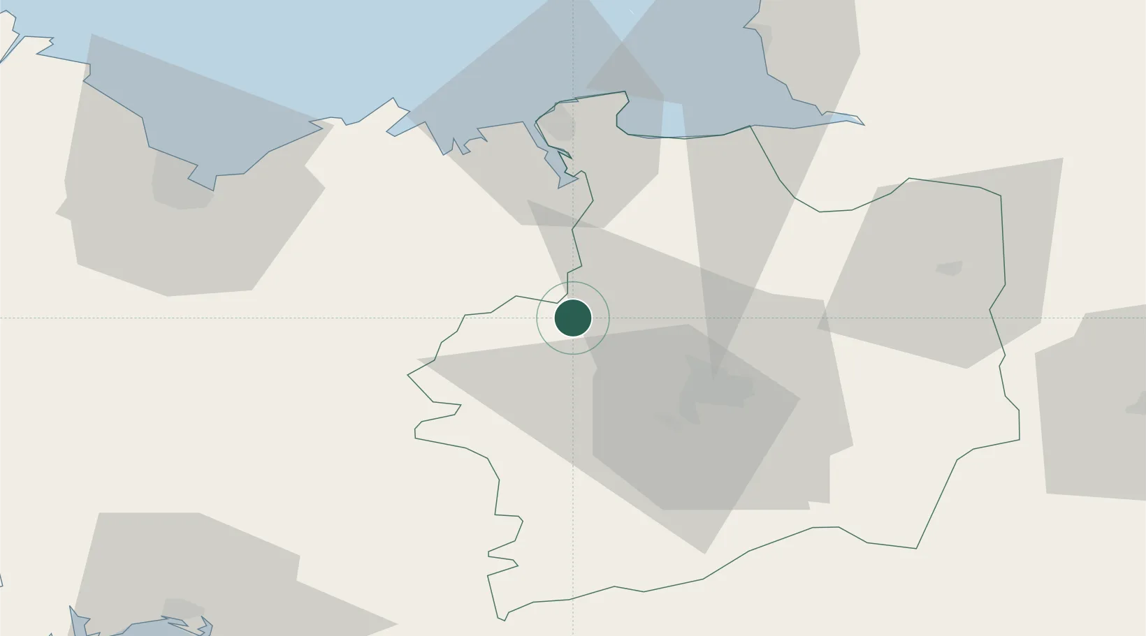
Hub Profile
Place type
Populated place
Region
Brittany
Population
1,523
Time zone
Europe/Paris
Elevation
103 m
Location
Nearby Logistics Neighbours
Cities
- 1La Chapelle-du-Lou5 km
- 2Saint-M'Hervon8 km
- 3Pleumeleuc8 km
- 4Montfort-sur-Meu13 km
- 5Plumaudan18 km
Ports
- 1Saint-Malo45 km
- 2Le Legue67 km
- 3Granville70 km
- 4Paimpol100 km
- 5Pontrieux102 km
Airports
Trade Zones
- 1ZFU Saint-Nazaire111 km
- 2ZFU Nantes et Saint-Herblain116 km
- 3ZFU Angers132 km
- 4ZFU Alençon151 km
- 5ZFU La Guérinière, La Grâce de Dieu154 km
DatabookThe Record of Consolidated Knowledge
France beyond logistics?